Rain, Rails, and the Border at Wasserbillig: Sankt Vith to Luxembourg
Day 2 of 18 Limburg to Lucerne and back 103.8 km 1,141 m elevation gain Belgium, Germany, Luxembourg
Day one had been the easy introduction a gentle railway gradient easing me south. Day two made clear that the flat, forgiving Vennbahn wasn’t going to last the whole way to Lucerne. More distance, nearly twice the climbing, and a moderate to hard rating on the difficulty scale for a reason: this stage worked harder for its kilometers, and so did I.
It also rained. Not dramatically, not the kind of storm that stops a trip, but the steady, all day kind that gets into everything eventually the kind that turns a good day into a long one.
South through the Ardennes fringe
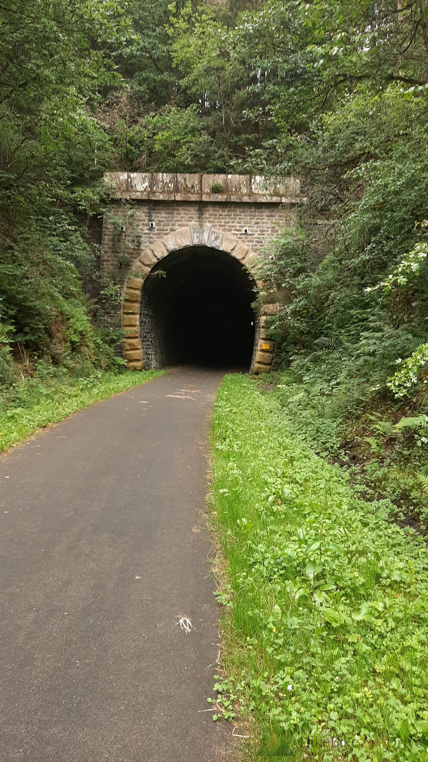
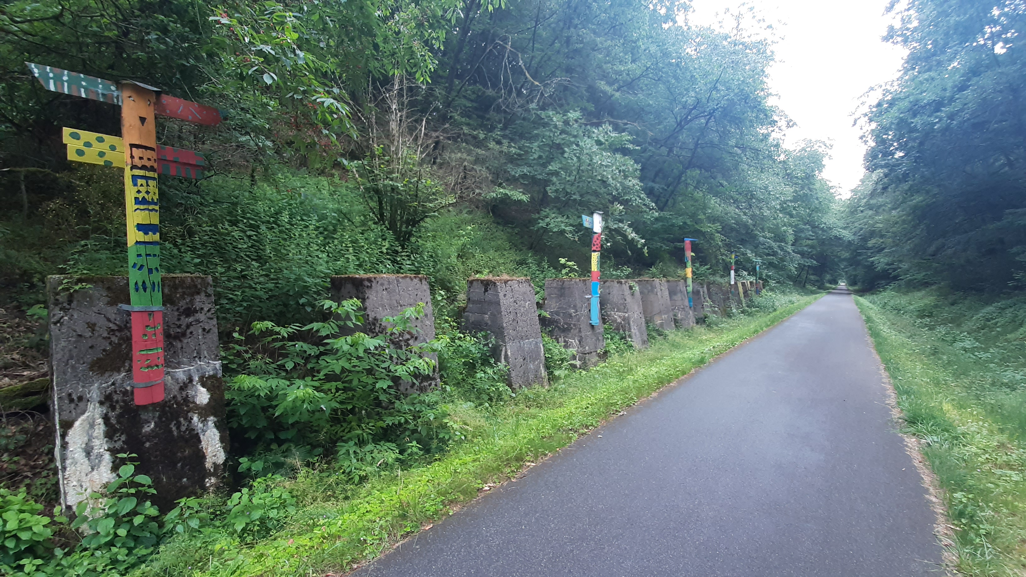
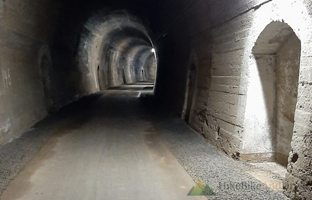
Leaving Sankt Vith, the route continues to trace old rail infrastructure south, though the character shifts noticeably from the open plateau riding of day one. The path threads through denser forest here, in and out of cuttings, at one point disappearing entirely into an old railway tunnel — one of those stretches where the temperature drops, the light goes, and for a few hundred meters it’s just the sound of tires on damp asphalt and the small circle of daylight ahead getting slowly larger.
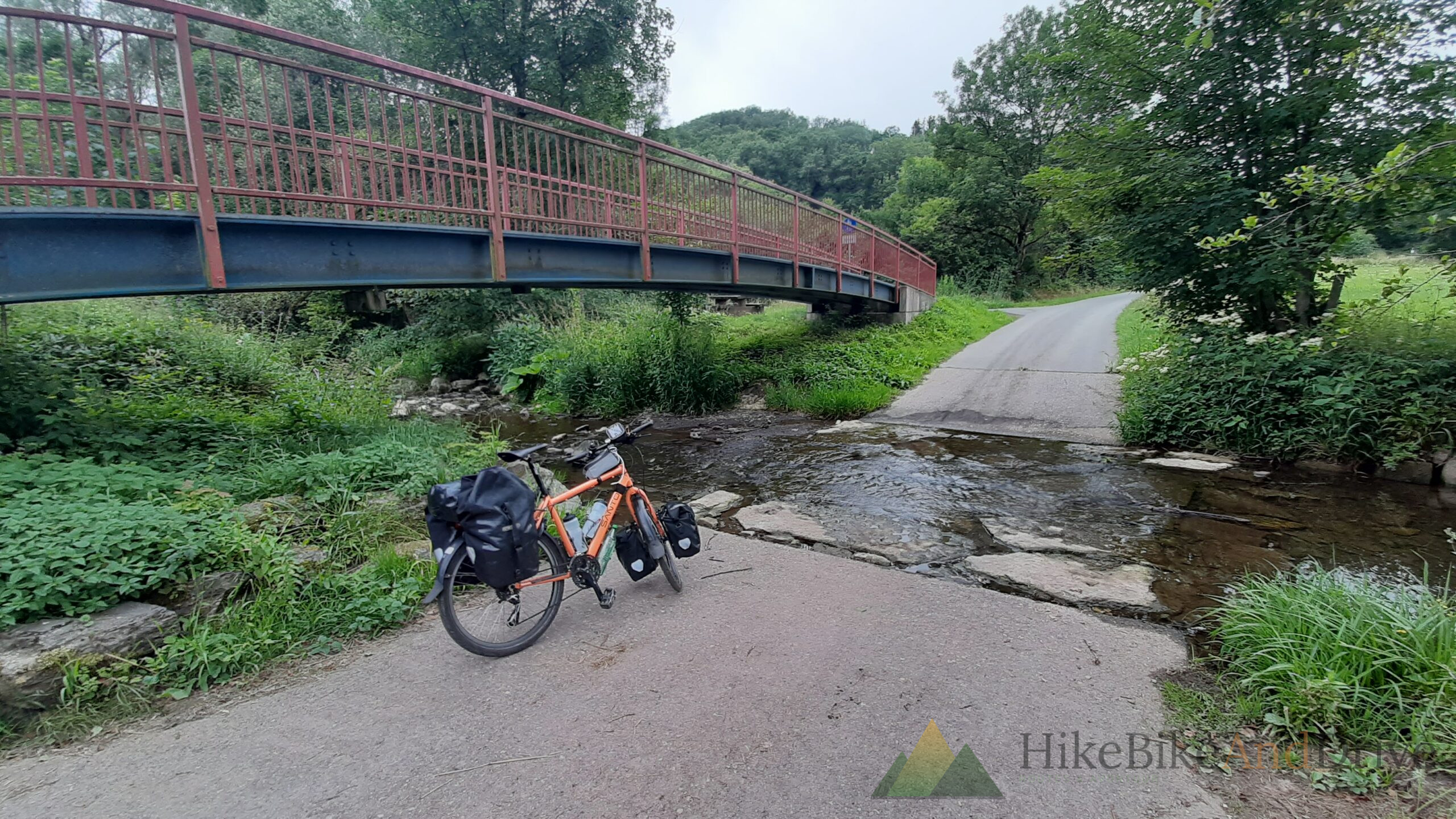
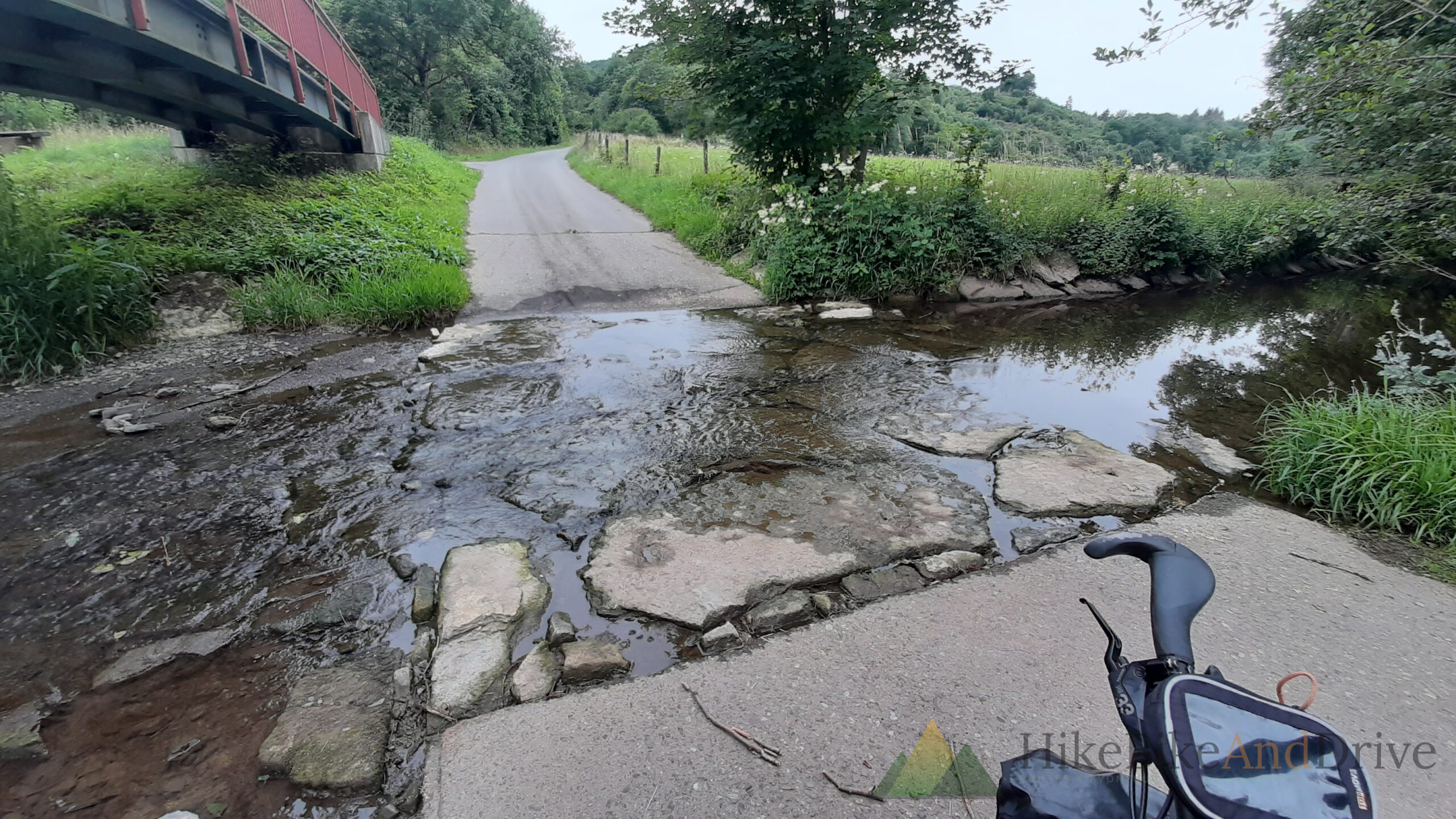
The rain made the whole stretch feel more atmospheric than it probably would have in dry weather. Wet stone, wet green, the old rust red iron footbridges crossing the streams that the rail line was built to avoid rather than bridge with anything more expensive the kind of unglamorous infrastructure that still somehow photographs beautifully a hundred years later. At one crossing, the trail dipped straight through a shallow ford over an old stone causeway, water running low but steady across cracked paving that had clearly been doing this job long before bike tires were the main traffic.
Into Luxembourg
The stage finishes by crossing into Luxembourg near Wasserbillig, where the Sauer river marks the border with Germany and the landscape opens up again after the closed in forest riding further north. This is where day two’s climbing really adds up 1,141 meters over the full stage, considerably more than day one, and enough to make the legs aware of it well before the final kilometers into town.
By the time the destination campsite came into view, the rain had turned the day’s ending into something quieter and greyer than the ride itself. The site sat on an exposed plateau field right next to the river and the border a stretch of flat grass with little shelter, made more bleak than usual by a full day of steady rain that had soaked the ground and left the whole place looking a bit forlorn. Not the reward the legs were hoping for after over five hours of riding, but exactly the kind of unglamorous moment that a long tour is also made of: pitching a tent in the wet, on a grey field, at a border you crossed without really noticing the exact moment it happened.
The numbers
Distance: 103.8 km
Elevation gain: 1,141 m
Moving time: 5:12
Difficulty: 3/3 (challenging)
Start: Sankt Vith, Belgium
Finish: near Wasserbillig, Luxembourg
Weather: steady rain for most of the day
Practical notes
Waterproofing matters here more than on day one: this stage’s tunnel and forest sections stay damp longer after rain, and the exposed final approach into Wasserbillig offers little cover if the weather turns.
Camping near the border: several riverside sites sit right along the Sauer near Wasserbillig convenient for an early start into Luxembourg the next morning, but exposed to wind and rain with minimal natural shelter, so pick your pitch with the forecast in mind.
Doubting what to pack for a stretch like this? The gear and packing list covers exactly what stayed dry and what didn’t.
the next day, day 3 to Saarlouis following tge Saar.