Vines from the Air: Along the Saar to Saarlouis
Day 3 of 18 · Luxembourg border to Saarlouis · 76.8 km · Luxembourg, Germany
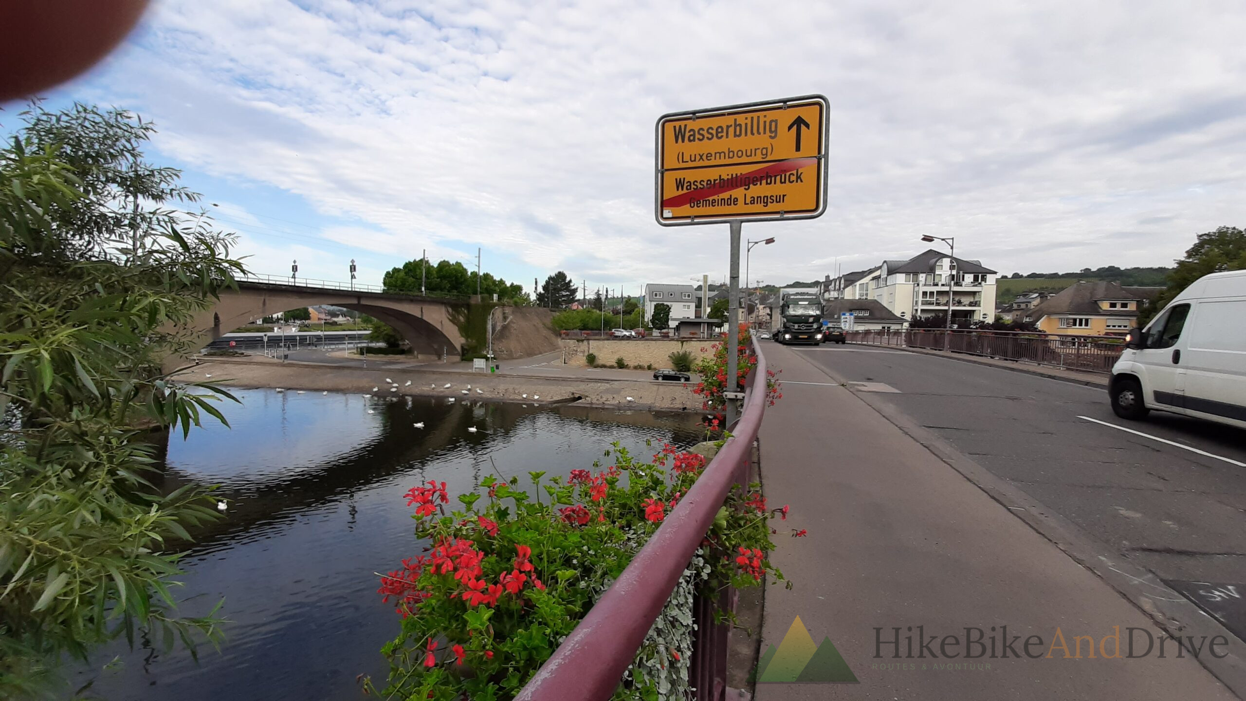
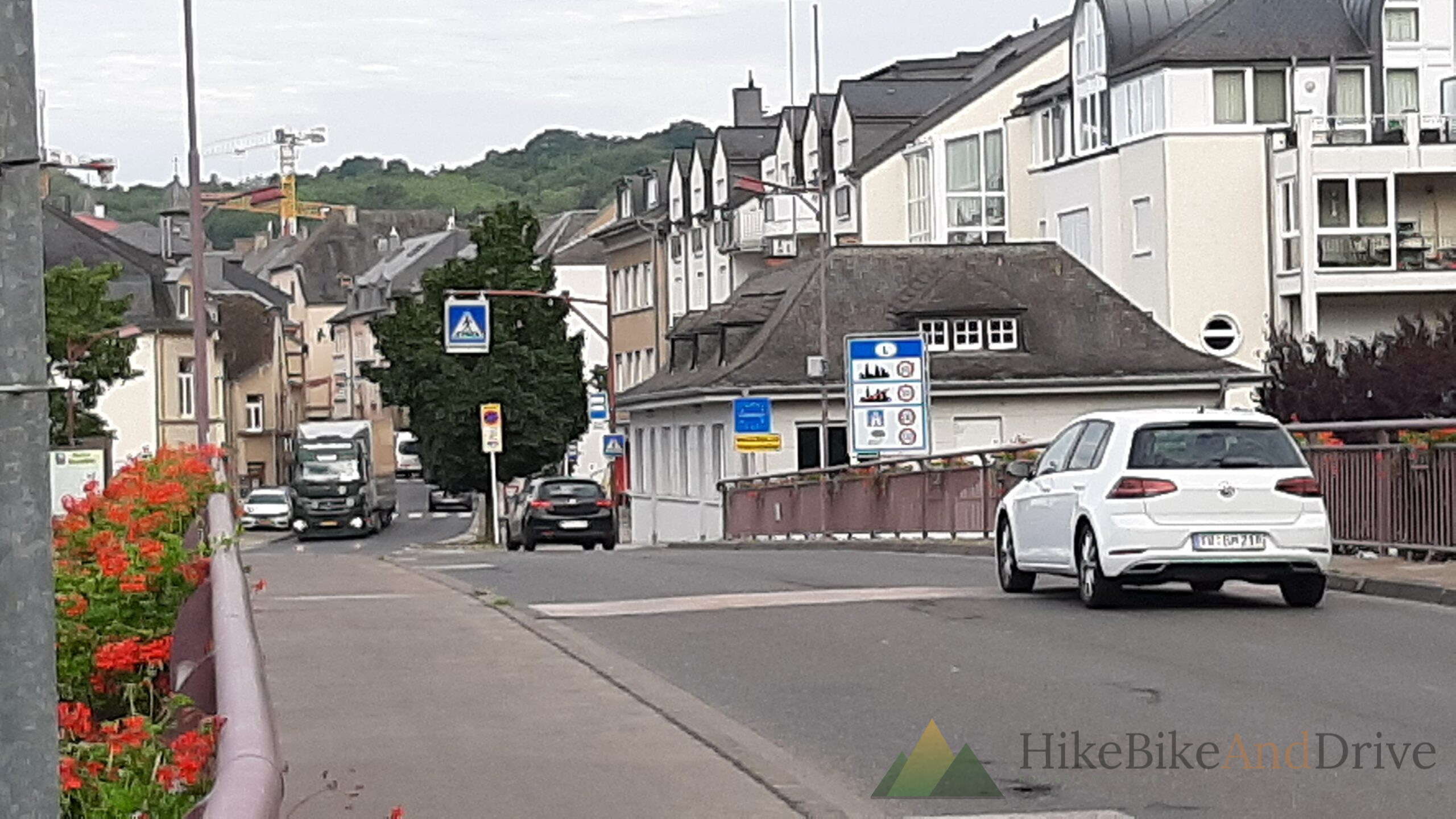
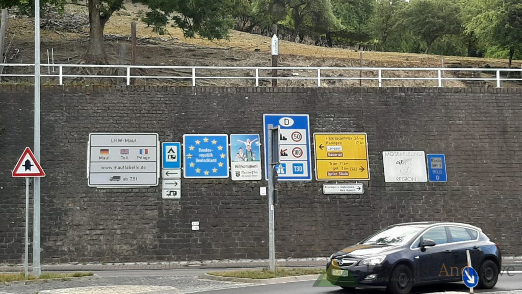
Day 3 started at a border that barely announces itself. The Sauer slides quietly between Luxembourg and Germany at Wasserbillig, and the only real evidence you’ve changed countries is a yellow sign asserbillig (Luxembourg) on one line, Wasserbilligerbrück, Gemeinde Langsur crossed out in red beneath it, the German side already claiming the road. Swans drifted on the water underneath while trucks rolled past on the bridge above, entirely unbothered by the fact that a border used to mean something here.
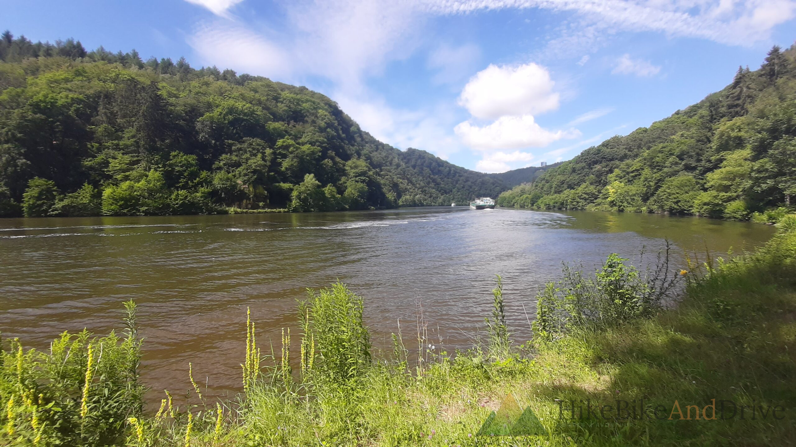
From there the route folded south, picking up the Saar and following it almost the whole day. After two days of climbing through the Ardennes and the Eifel, this was something different: a river valley doing the navigating for you, the road tracing every bend the water made, barely a real hill in sight.
Vineyards, sprayed from above
Somewhere past Konz the hillsides steepened into vineyards, terraced right up the slope in the way only the Mosel Saar wine country does it too steep for tractors, too valuable to leave to hand spraying alone. A helicopter worked its way along the rows while I rode past below, dipping low over the vines and pulling back up, dipping and pulling back, again and again. It’s one of those details you don’t expect on a bike trip and can’t really plan a photo for you just end up cycling underneath it, slightly distracted, trying not to swerve while looking up.
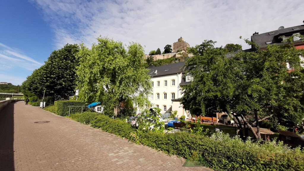
The town that followed sat below a hilltop church with twin spires, half timbered houses stacked up the slope behind it, vines running almost to the rooftops. Saarburg, unmistakably one of those places where the river, the wine, and the town were clearly laid out by the same logic centuries ago and nobody’s seen a reason to argue with it since.
The towpath does the work
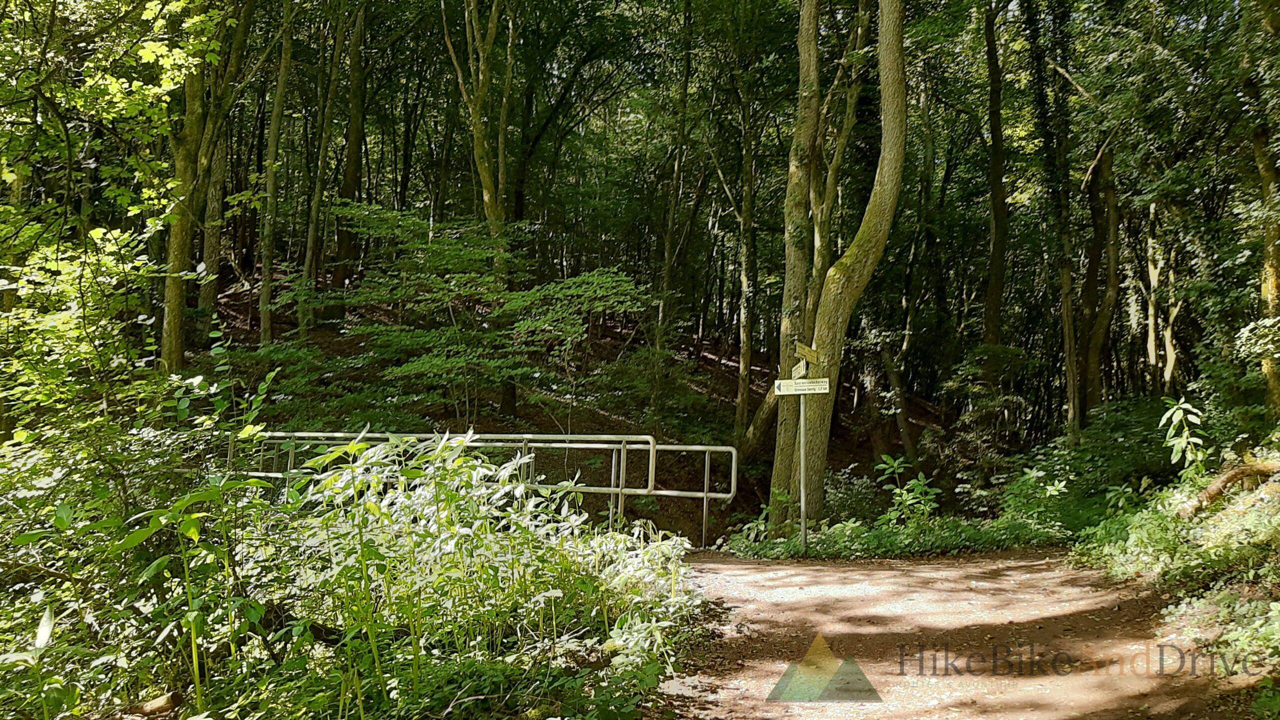
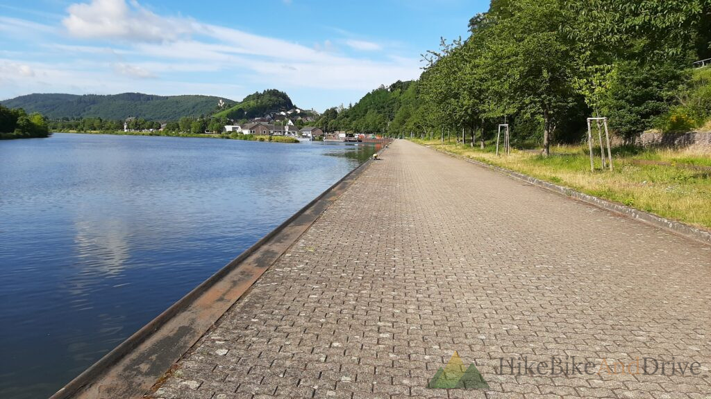
South of Saarburg the Saar cycle path settles into its rhythm: paved towpath hugging the water, wooded hillsides pressing close on both sides, the odd shaded singletrack cutting through where the main path ducks inland around a lock. One stretch ran through proper forest narrow dirt path, a small stream threading along the base of the slope, white wildflowers crowding the banks. Quiet, cool, a welcome change of texture after a morning of open river straight.
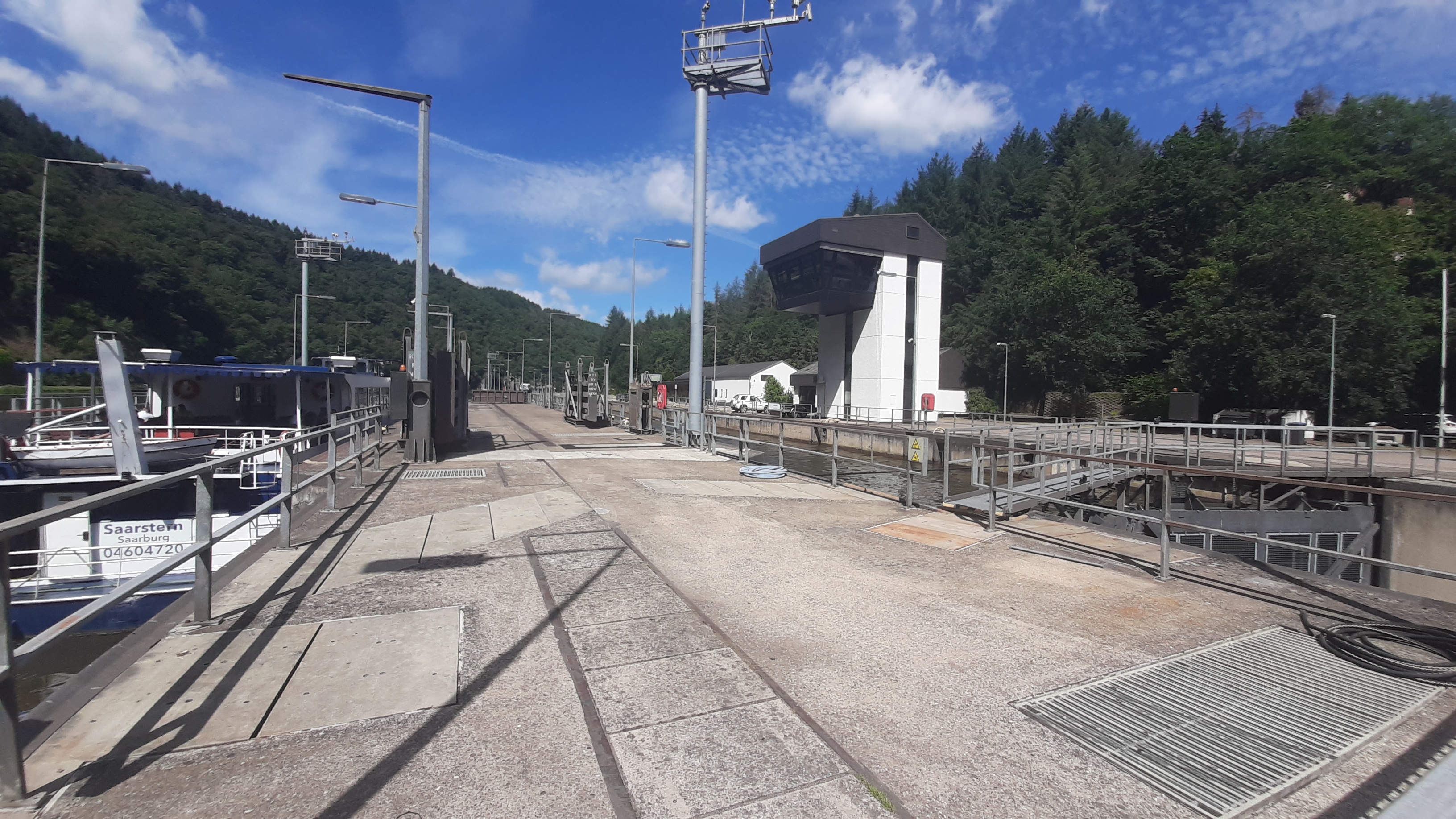
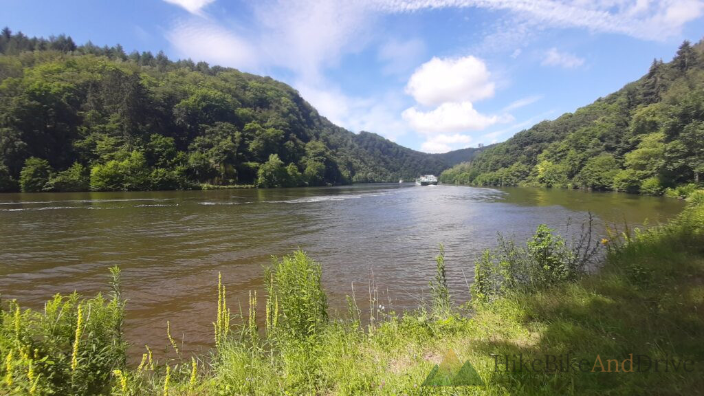
The lock at Serrig broke the flow properly a proper working stretch of river infrastructure, the Saarstern excursion boat tied up alongside while the control tower managed the gates further along. A few kilometres on, the valley pinched into a proper gorge, wooded slopes closing in on both sides while a barge pushed upstream against the current, wake fanning out behind it. It’s easy to forget the Saar is still a working river until something that size comes around the bend.
Saarlouis, and an evening off
By the time Saarlouis appeared the legs were ready to stop, even if the terrain never really asked much of them. The campsite sat close to the centre, run by an older couple who clearly took some pride in the place and the showers were the best so far.
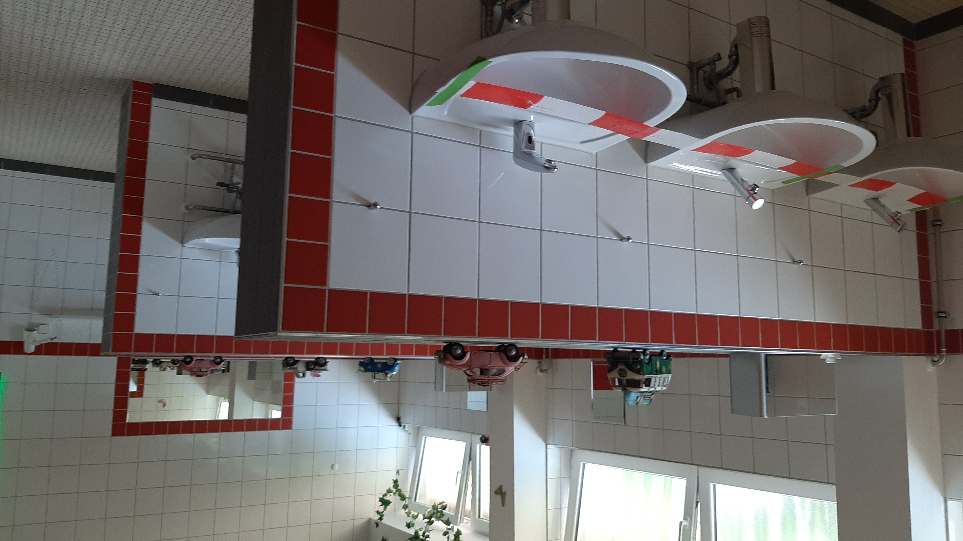
The washroom told its own quiet story about the year, though. Alternate sinks were taped off with red and white barrier tape, every other one marked out of use so the remaining basins sat a safe distance apart a small, practical fix for a summer where sharing a row of taps with strangers wasn’t something anyone took for granted anymore. Toy campervans lined up on the shelf above, oblivious to all of it.
Day 3 of the 18-day Limburg to Lucerne (and back) expedition, Santos Travelmaster, July 2020.
What’s next
From Saarlouis the route continues deeper into Germany, leaving the Saar behind day 4 picks up where this one leaves off.