Crossing into Switzerland: Breisach to Basel and the Swiss Jura
Day 7 — Breisach to Camping Frick, Switzerland
Along the Rhine, Past Fessenheim
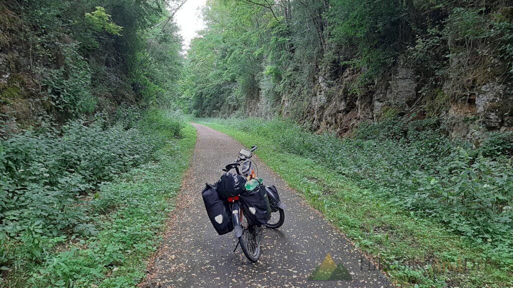
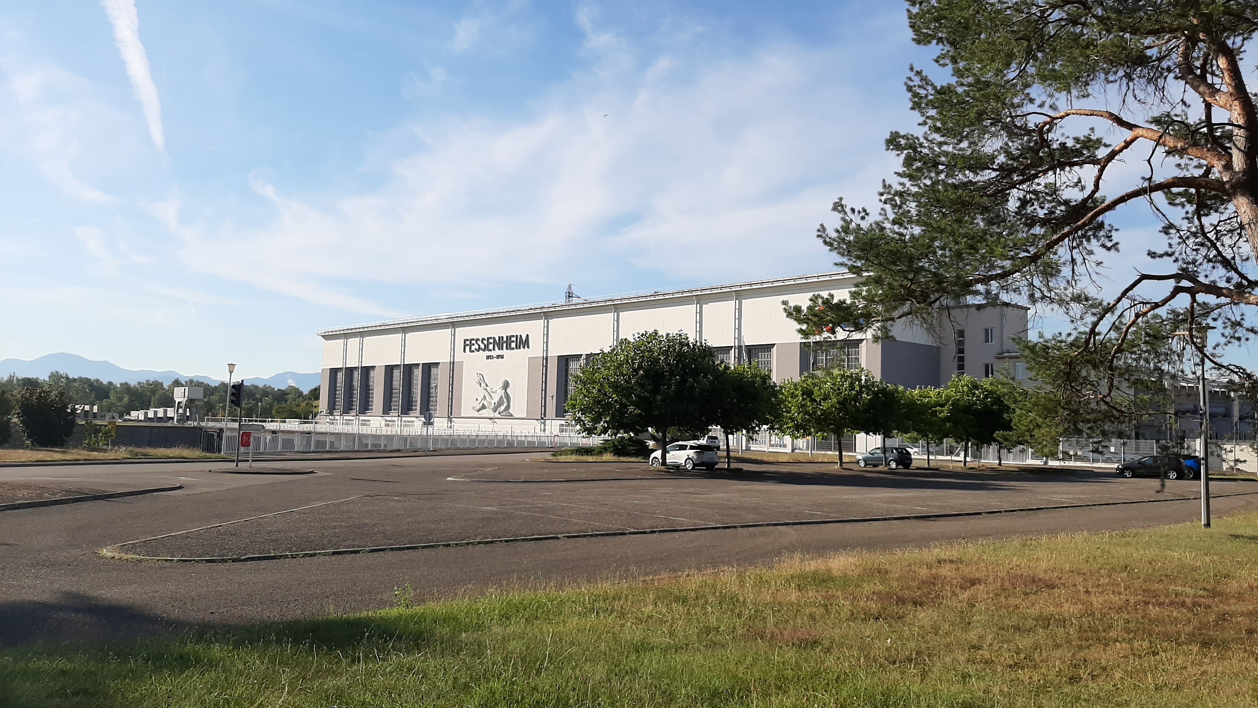
The morning started along quiet farm tracks, the kind of empty gravel paths that make the Rhine valley such easy cycling soybean fields, power lines marching off toward the horizon, and just enough of a breeze to keep the July heat at bay. Before long the unmistakable bulk of the Fessenheim hydroelectric power station came into view across the fields part of the Grand Canal d’Alsace, built in the 1950s to harness the Rhine for electricity and improve navigation between Basel and the North Sea.
Signposts to Everywhere
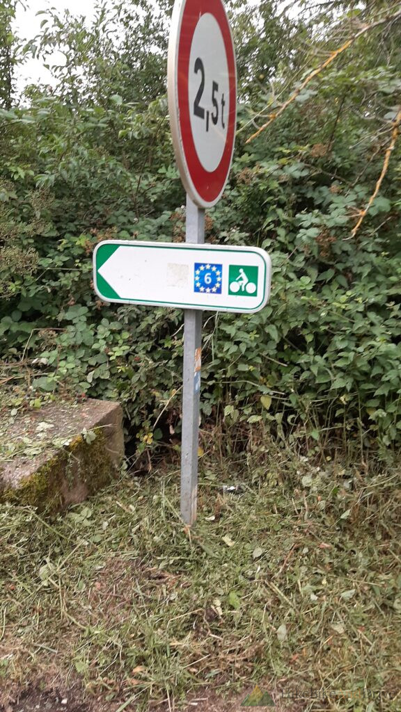
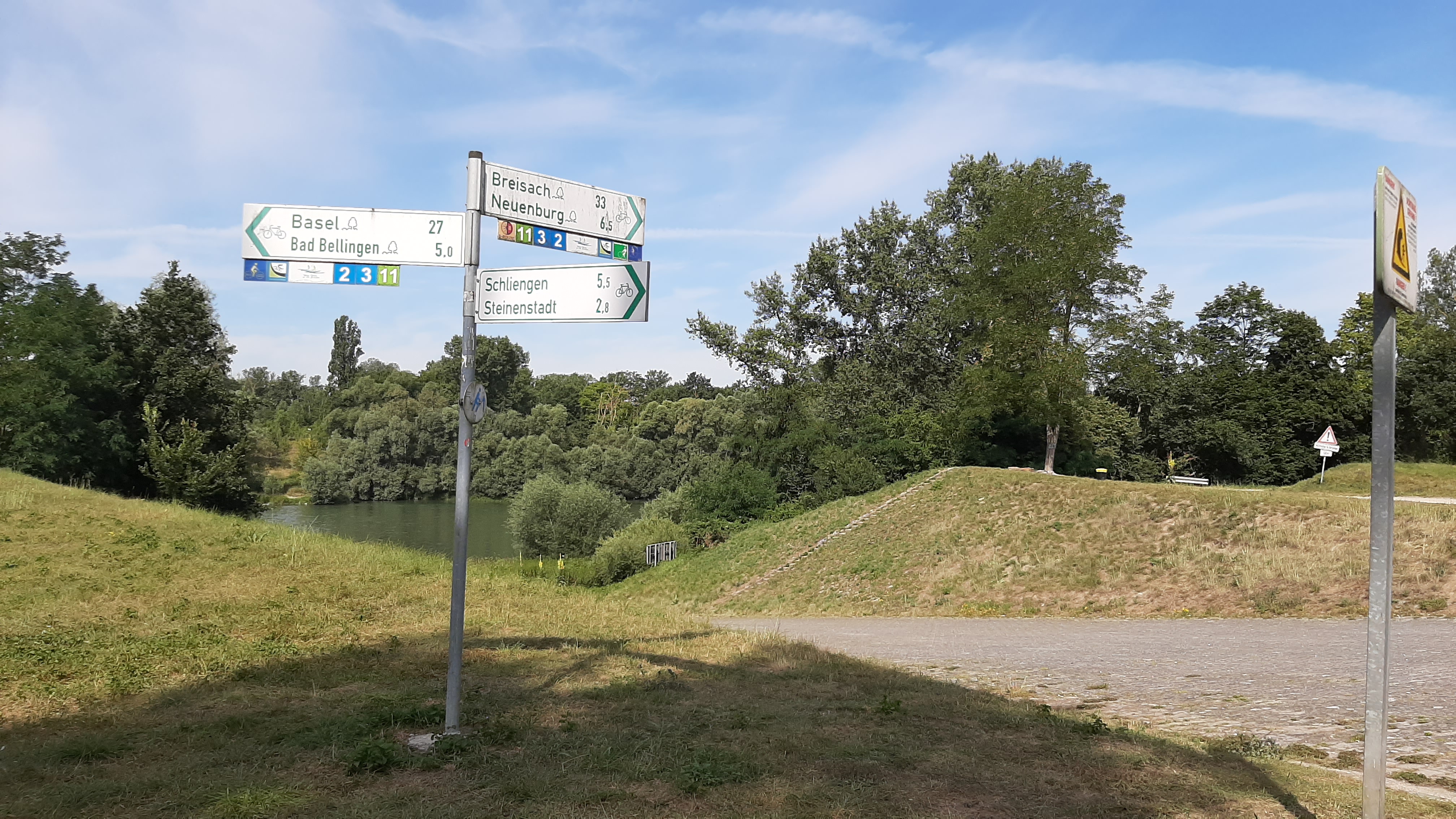
A little further on, a cluster of cycle route signs marked one of those satisfying moments on tour Basel, Bad Bellingen, Neuenburg, Schliengen, all pointing off in different directions from a single post above the Rhine. Basel: 27 kilometers. The destination for the day was starting to feel close.
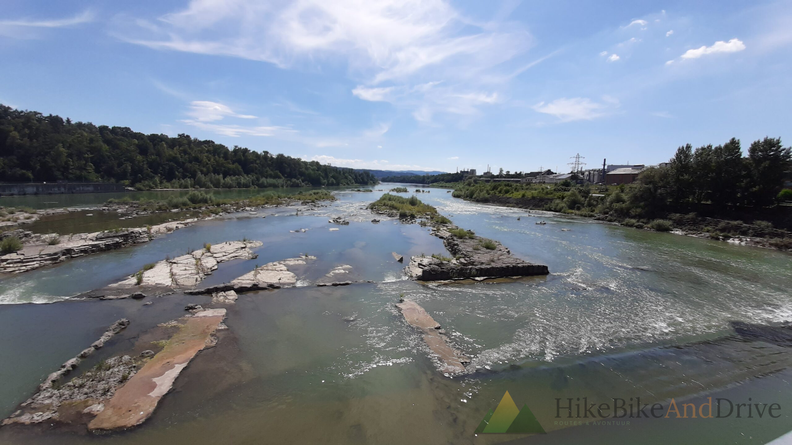
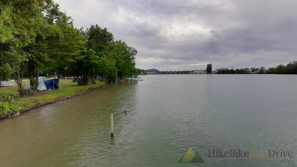
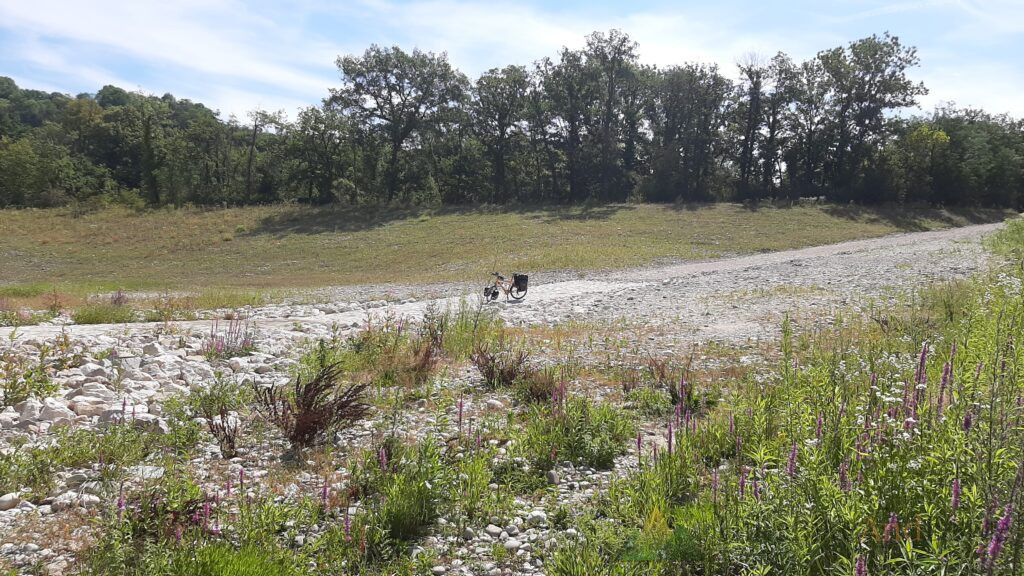
The route stayed close to the river itself for long stretches — wide, green-grey water, gravel banks, and reed-lined bends that made for easy, scenic riding.
The Corner of Three Countries
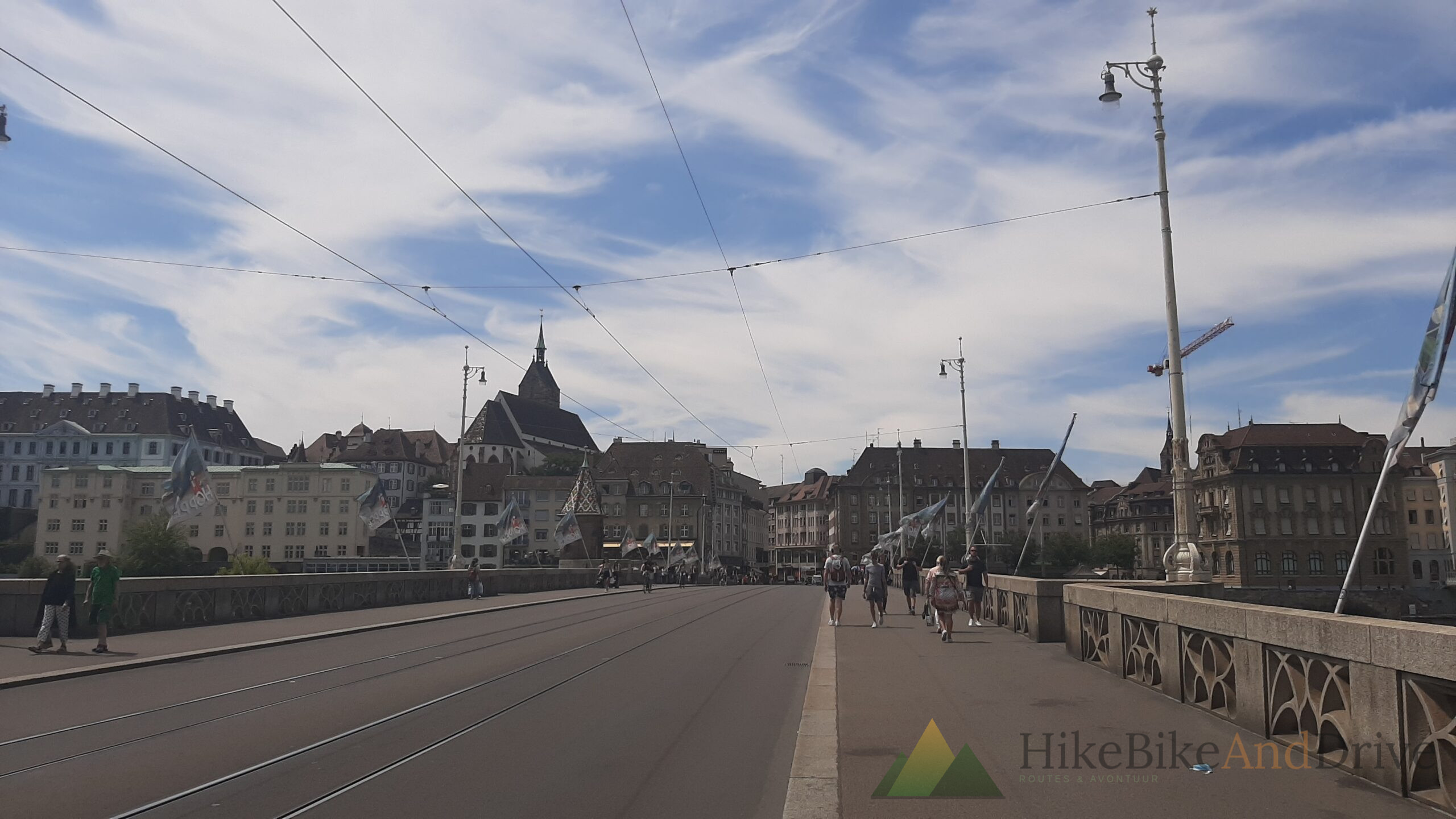
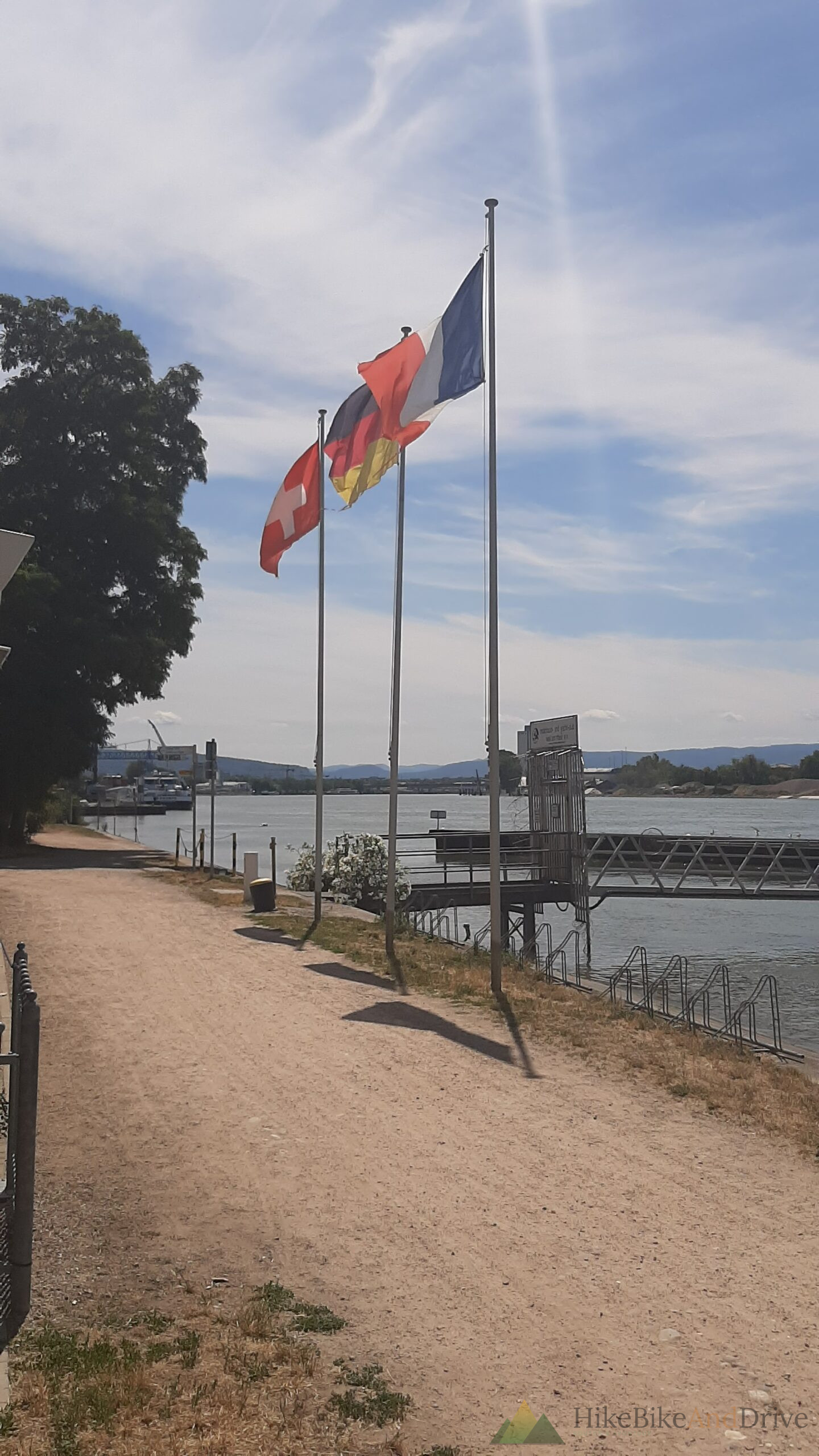
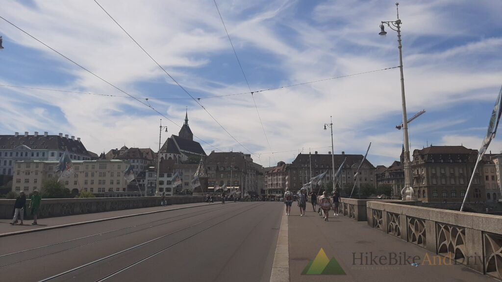
The real landmark of the day came at Basel, where Germany, France, and Switzerland meet at a single point a genuine tripoint, the kind of place that only really means something once you’re standing on it, having pedaled there yourself from three different directions of travel over the past week. Basel itself turned out to be a beautiful city, the Rhine running right through its center, historic façades lining both banks.
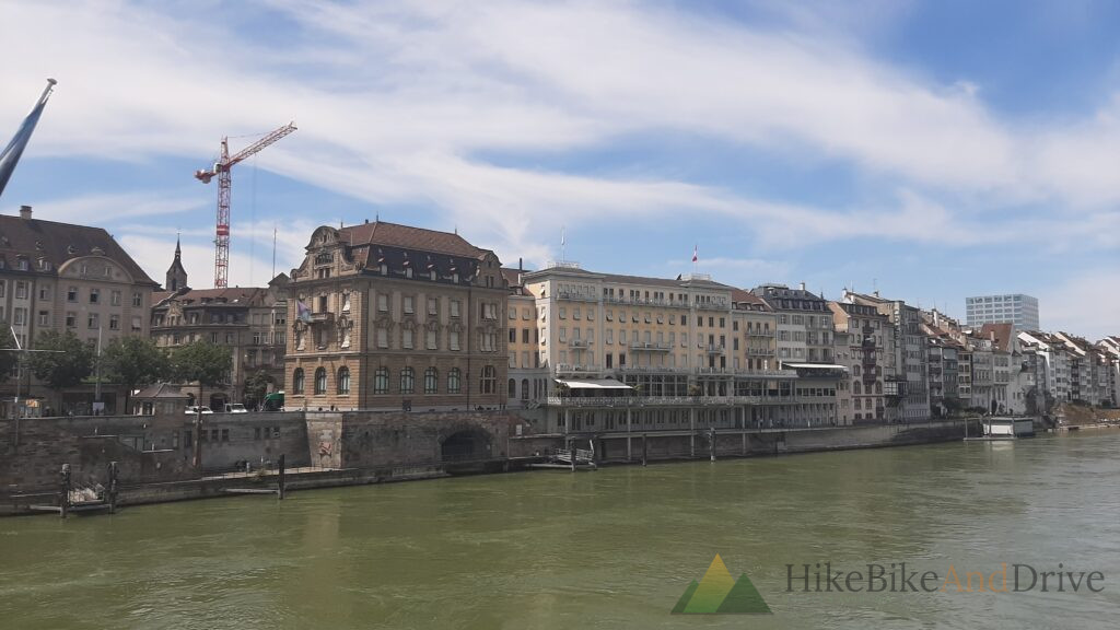
On the old bridge across the river the Mittlere Brücke, with the twin towers of the Basler Münster rising behind I stopped in the middle to call Michelle and tell her I’d made it into Switzerland. A small milestone, marked from the best possible spot: standing over the Rhine, city on both sides.
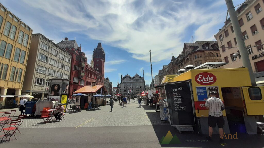
For lunch, a bratwurst with bread from a stall on the market square simple, filling, and exactly what a day like this calls for.
Into the Swiss Jura
From Basel the road turned away from the river and began climbing gently into the first folds of the Jura 310 meters of elevation gain across the day, noticeably more than the flat stretches through Alsace. The landscape shifted too: rockier, hillier, the first real hint that the terrain toward Lucerne wouldn’t stay flat for much longer.
A Campsite Next to a Mine
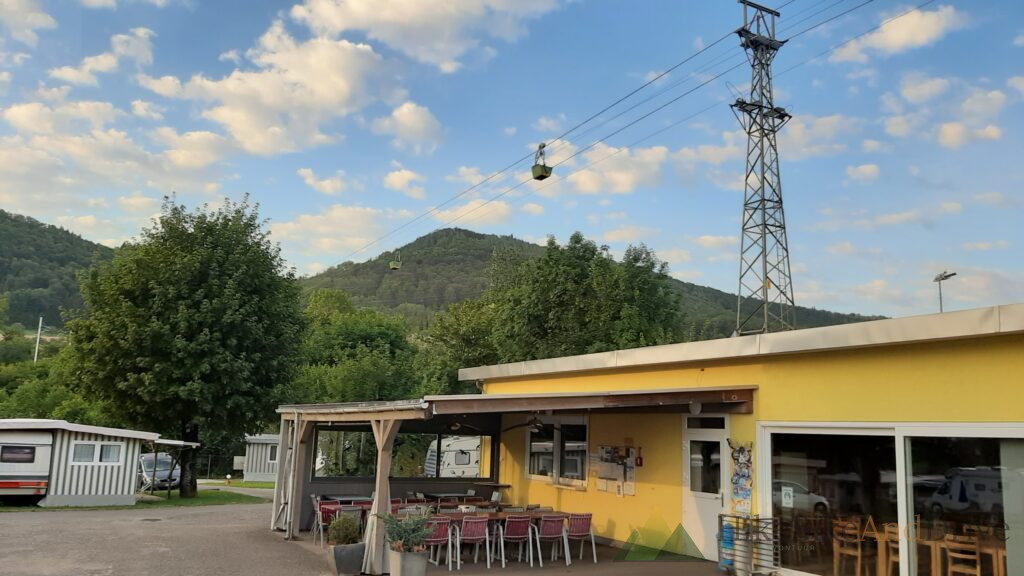
The day ended at Camping Frick, a site with an unusual neighbor: a working mine, complete with a cable car running overhead carrying materials out of the ground a strange, industrial backdrop to an otherwise quiet evening. Checking in was equally unusual: no reception desk, just a phone call to register, and then the freedom to pick any spot on the site myself.
The Numbers
- Distance: 88.7 km
- Elevation gain: 310 m
- Terrain: Flat river paths in the morning, gentle climbing into the Jura foothills by afternoon
- Overnight: Camping Frick, Switzerland
- Highlight: Crossing the Germany-France-Switzerland tripoint at Basel, a bratwurst lunch on the market square, and a phone call to Michelle from the middle of the Mittlere Brücke
Volgende etappe: The https://hikebikeanddrive.com/route/limburg-lucerne-stage-8-lucerne/Final Approach to Lucerne → — dag 9 van de Limburg-Lucerne expeditie.