Day 4 of 18 · Saarlouis, Germany to Vilsberg, France · 102 km · Germany, France
Day 4 opened with a second border in three days. After Wasserbillig on day 3, this one arrived quietly again no queue, no checkpoint, just the Saar sliding past and the road signs switching from German to French somewhere around Grosbliederstroff. Germany was behind. Ahead lay a long stretch of French countryside that had nothing in common with the river towns of the days before.
Following the water out of Germany
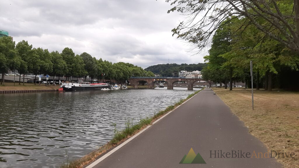
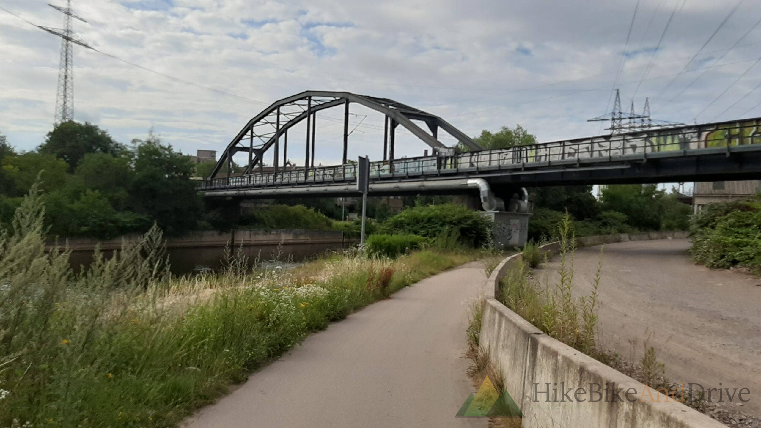
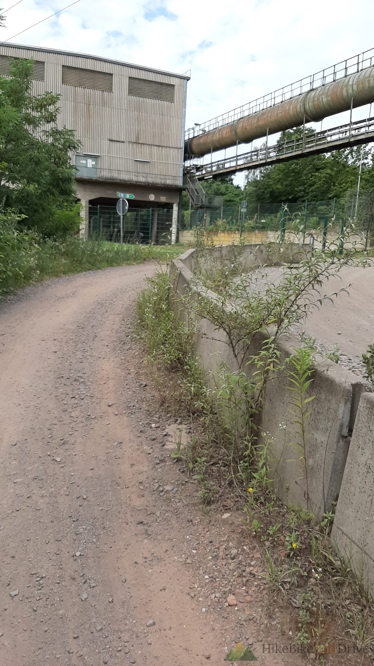
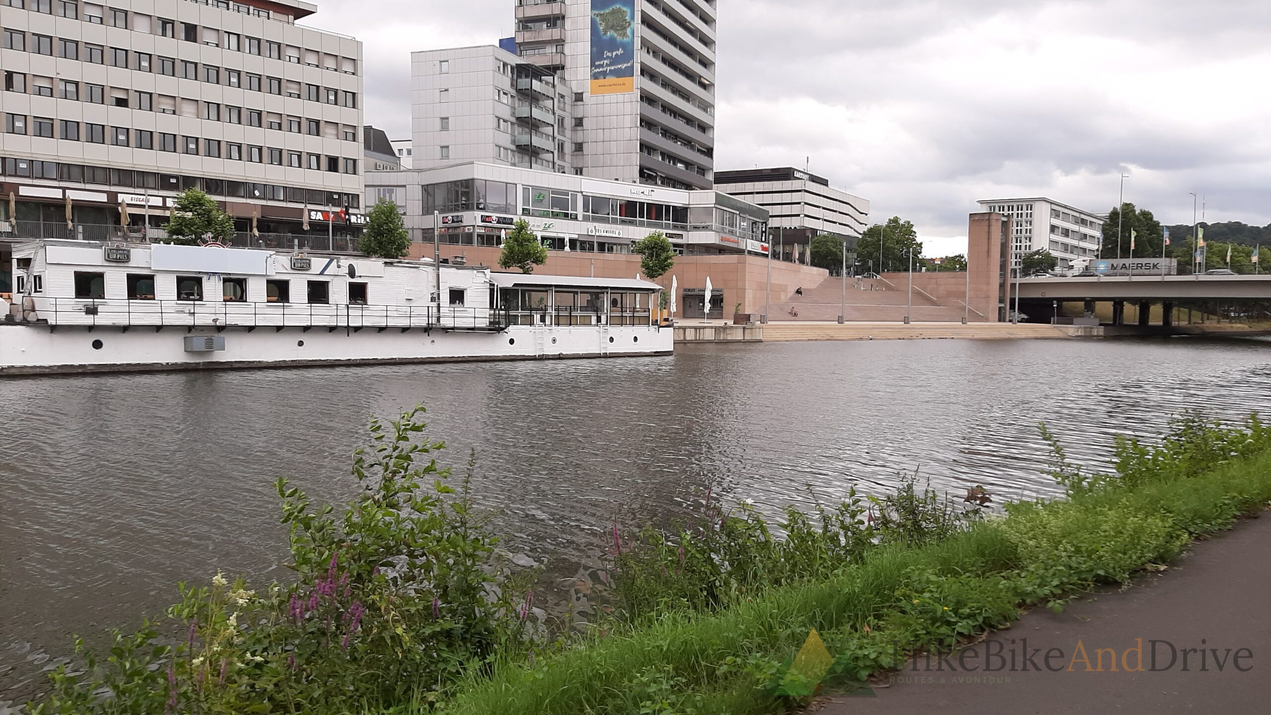
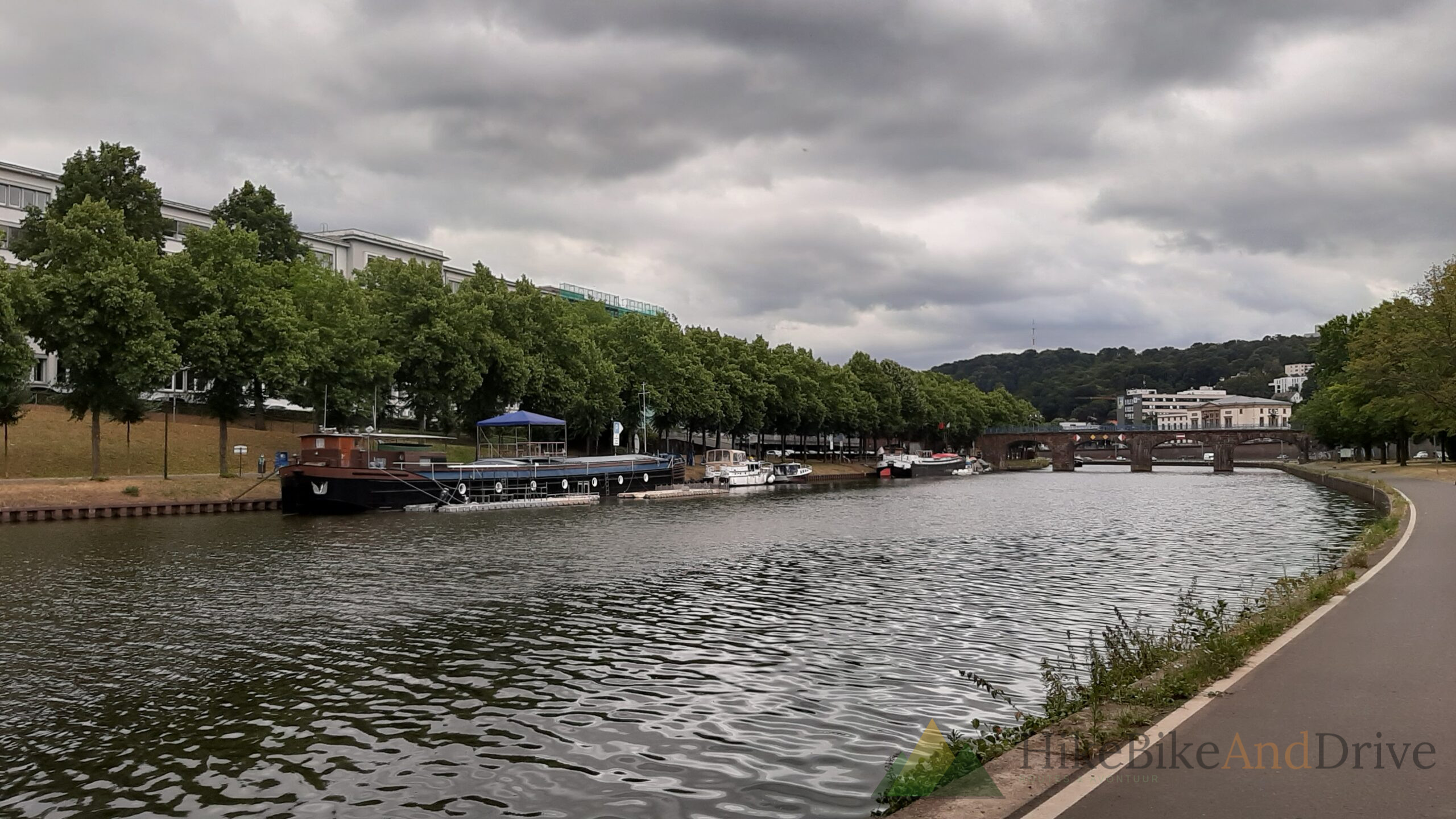
The morning followed the canal south from Saarlouis, the towpath doing the same quiet work it had the day before flat, well surfaced, easy kilometres before the legs had properly woken up. Crossing into France near Grosbliederstroff barely registered as an event; the water didn’t change, only the language on the signs did.
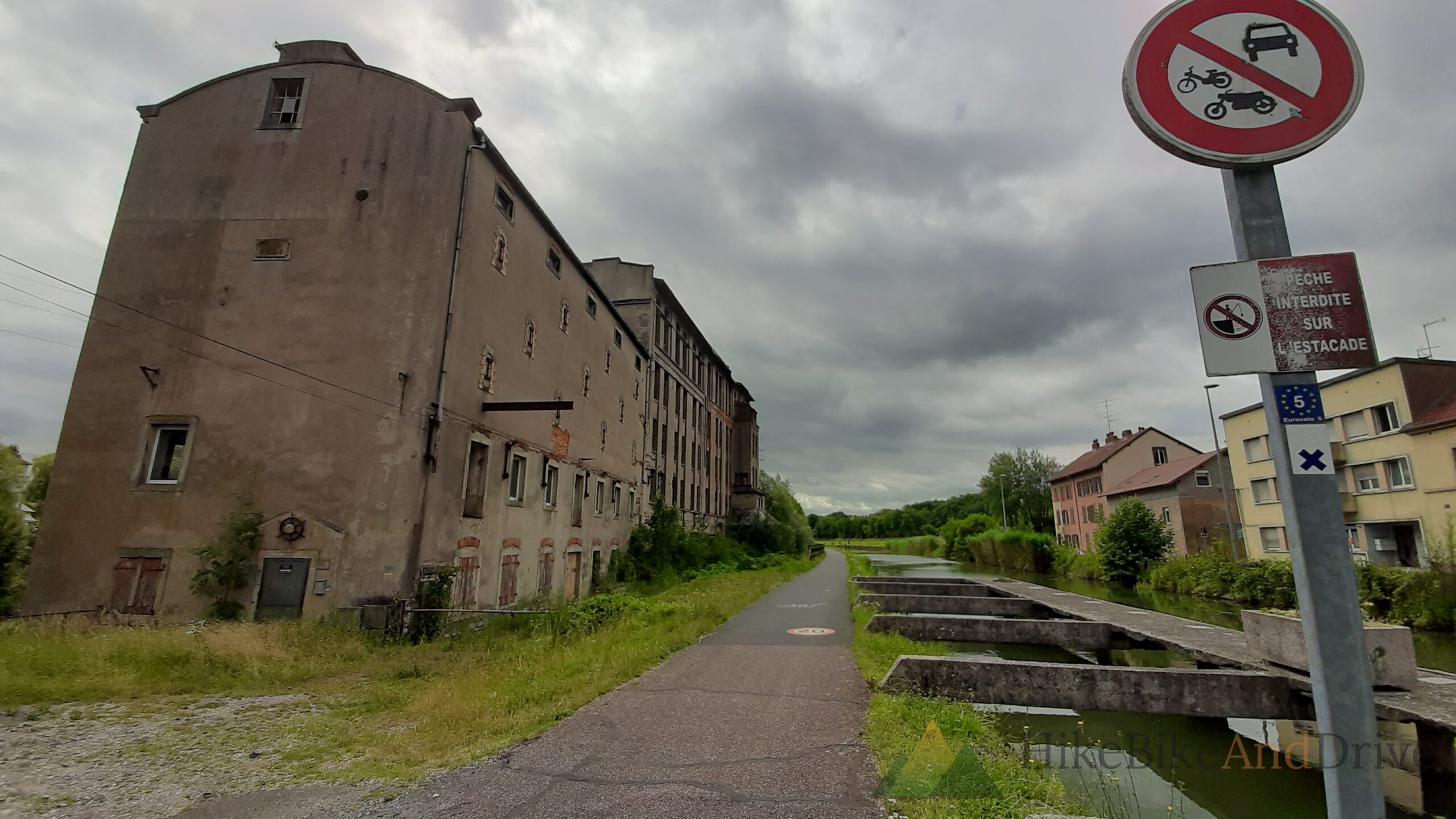
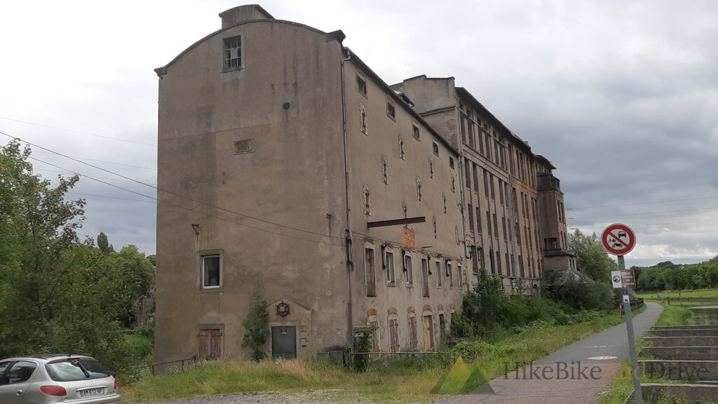
Sarreguemines gave the day its first real landmark: a derelict industrial building strung out along the canal, brick facade collapsing gently into itself, windows long since gone dark. Sarreguemines has been a ceramics and earthenware town for centuries, and it shows this looked like exactly that kind of history, standing quietly beside a towpath now used only by cyclists and dog walkers. A “no motor vehicles” sign stood next to a “no fishing” sign on the same post, the canal apparently still worth protecting even now.
Into open country
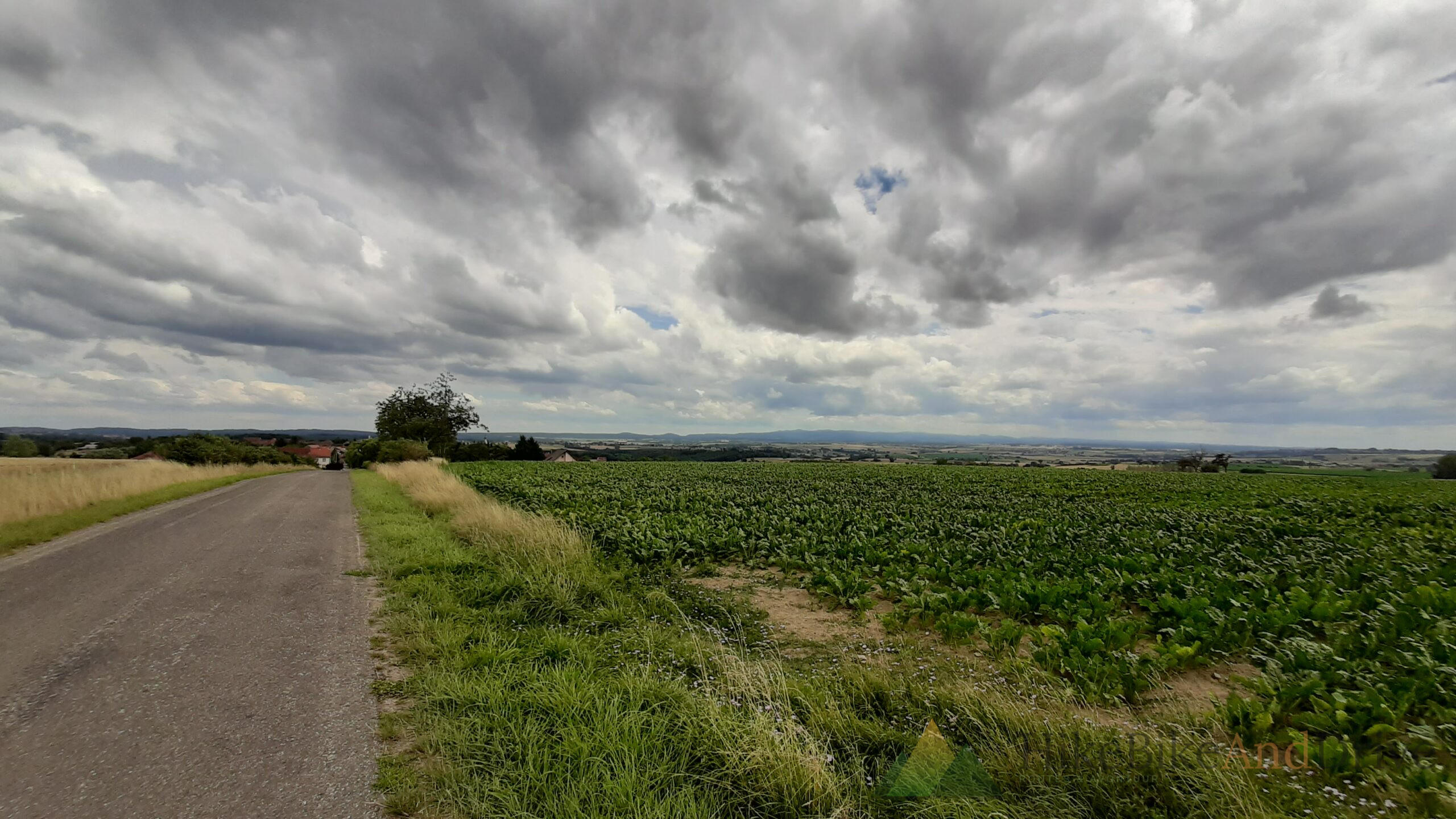
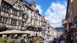
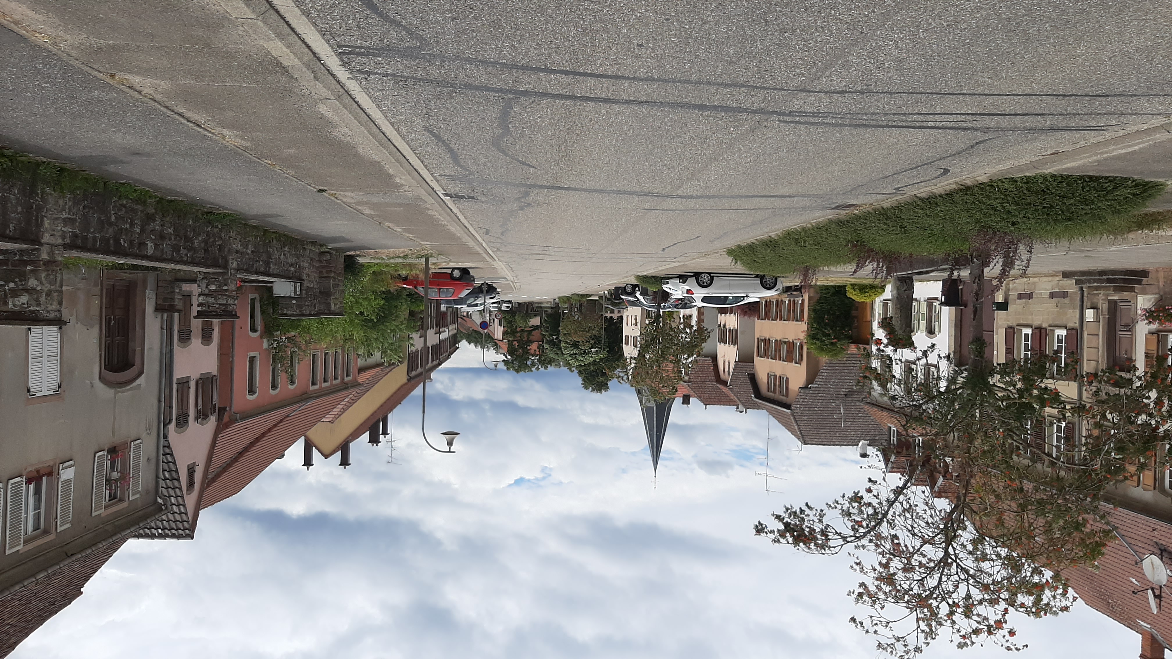
Past Zetting the character of the ride changed completely. A wooden-fenced path ran alongside a narrower river, trees closing in on both sides a proper rural French backroad feel replacing the industrial canal towpath. Then the terrain opened right up: a village inside the Parc naturel régional des Vosges du Nord, half-timbered houses and a slim church spire lining a quiet main street, followed by long, rolling farmland near Bust, sugar beet fields running to the horizon under a sky doing something genuinely dramatic heavy grey cloud with just enough blue breaking through to keep it from feeling ominous.
This was the stretch where the navigation setup earned its keep. Out here, well away from any river to simply follow, the pre loaded Komoot to Maps.me route was doing the actual work of finding the way more on how that whole system was built and where it held up (and where it didn’t) in a separate piece on the navigation setup used for this whole trip.
Vilsberg, in the evening
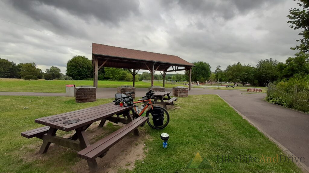
The day ended at a forest campsite in Vilsberg tent pitched on grass between the trees, the orange Travelmaster parked nearby with the panniers still half loaded. The evening brought the first proper sit down meal of the trip that felt like an actual reward: a golden schnitzel with a slice of lemon, a mountain of fries, salad on the side, and a large Alsace style beer. After a day that started in Germany and ended deep in rural France, it felt like it had been earned.
Day 4 of the 18-day Limburg to Lucerne (and back) expedition, Santos Travelmaster, July 2020. 102 km, 636 m elevation gain.
What’s next
From Vilsberg the route continues into the Vosges foothills — day 5 picks up where this one leaves off. Read more about day 3, along the Saar to Saarlouis, or about the navigation setup that carried the whole trip.
See the next day to Strasbourg.