Riding the Ghost Railway: Kerkrade to Sankt Vith on the Vennbahn
Day 1 of 18 · Limburg to Lucerne and back · 95.1 km · 967 m elevation gain · Germany, Belgium
This is the opening leg of an 18-day round trip from the DutchGerman border all the way to Lucerne, Switzerland and back. Eighteen days, one continuous line south through Germany and Belgium’s borderlands, over the Alps, and home again. This first stage sets the tone for everything that follows: an old railway line, gentle by design, carrying the route quietly out of the Netherlands and deep into the Eifel.
There’s something quietly hypnotic about cycling on a route that was never built for cyclists. The Vennbahn wasn’t designed with gradients in mind for a person on two wheels it was designed for steam locomotives hauling iron ore, and locomotives don’t do steep. That single fact, laid down more than a century ago by railway engineers who never imagined this future, is what makes this ride from Kerkrade to Sankt Vith feel so different from anything else in the region. No climb here ever exceeds roughly 2%. It just doesn’t stop climbing.
From the Limburg border to the high plateau
The day starts unremarkably enough the streets of Kerkrade, the last town on the Dutch side before the border dissolves into Germany almost without ceremony. Within a few kilometers you’re in Aachen’s orbit, and if you follow the old railbed south you’ll pick up the Vennbahn proper around Raeren, where Belgium quietly reasserts itself and the language on the road signs shifts to Walloon-German bilingual.
This is where the ride’s real character shows up. The old railway cuts through rolling farmland and dense spruce forest with an almost surgical consistency no hairpins, no punishing ramps, just a long, patient, unbroken gain in altitude. It’s deceptive. You don’t feel like you’re climbing much at any given moment, and yet by the time you roll into Monschau’s outskirts and the Kalterherberg plateau, you’ve quietly banked several hundred meters without a single moment of real effort.
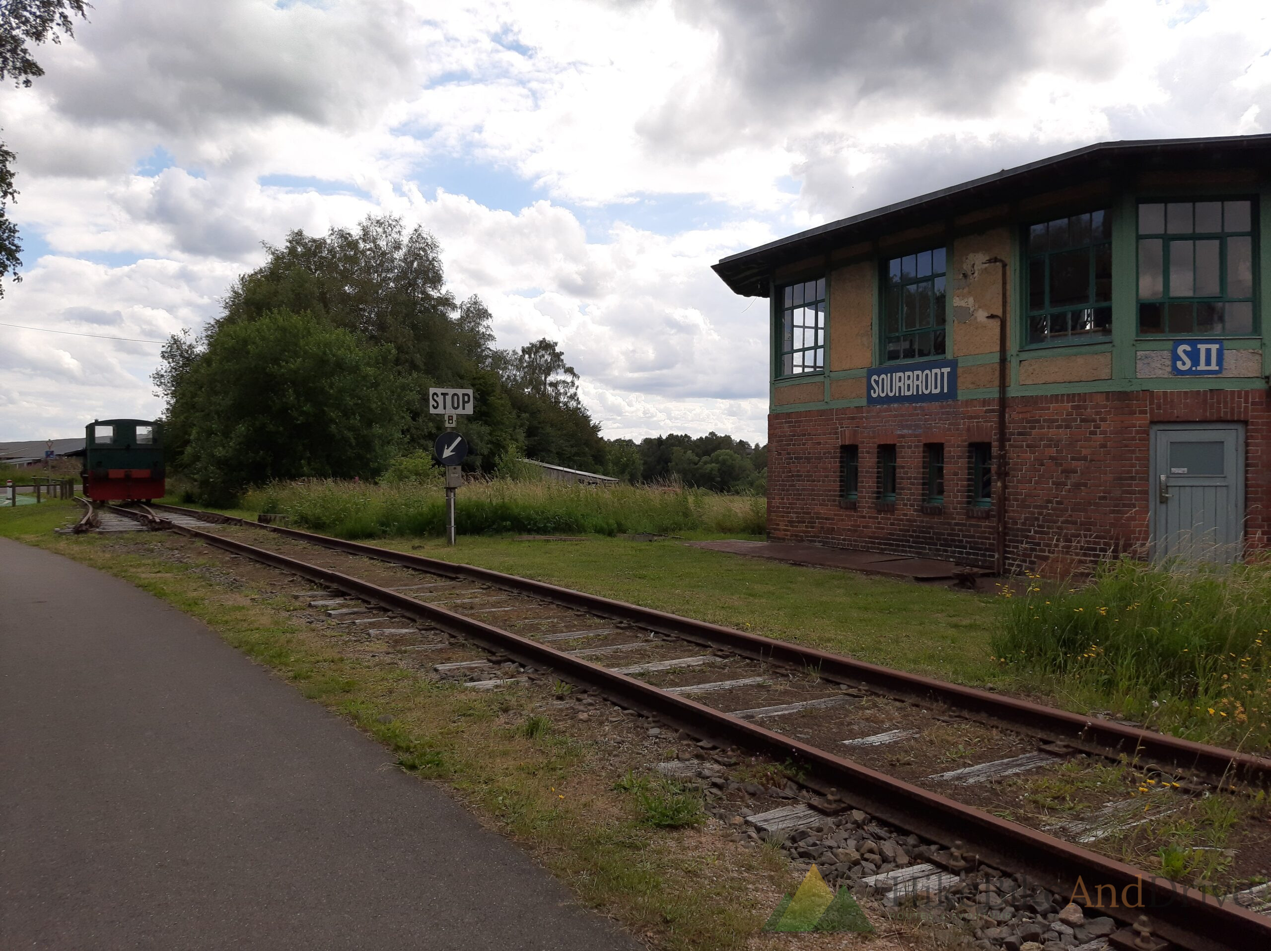
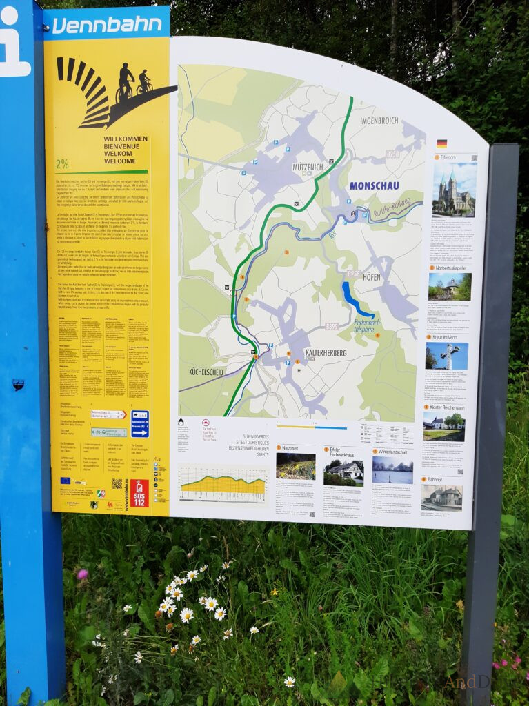
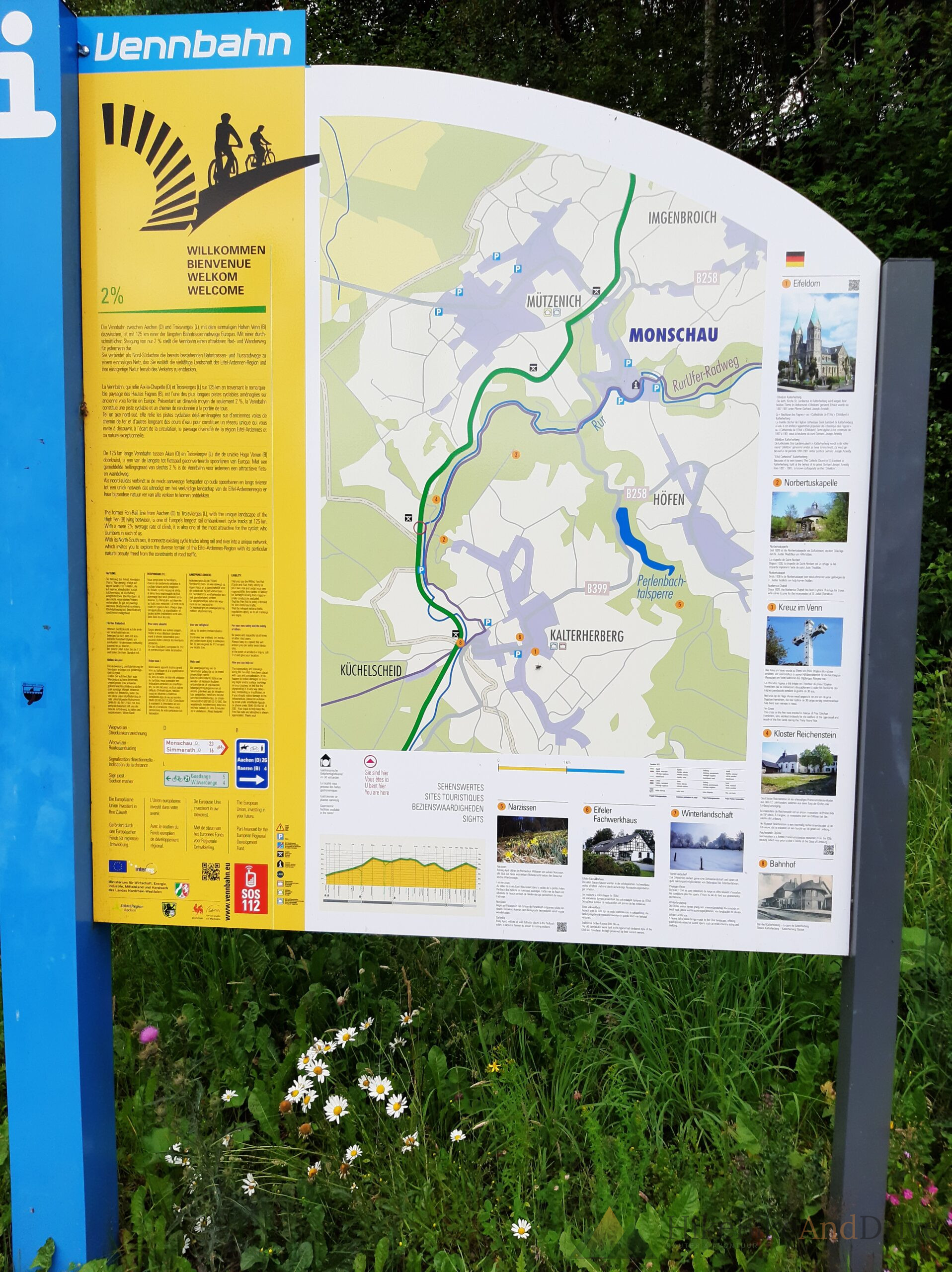
An old information board along this stretch, standing at the edge of a meadow full of wild daisies, spells it out plainly: the Vennbahn between Aachen and Troisvierges runs 125 km, and along virtually its entire length, the gradient never exceeds 2% a promise the trains needed, and one the route still honors for anyone on a bike.
Through the Hohes Venn
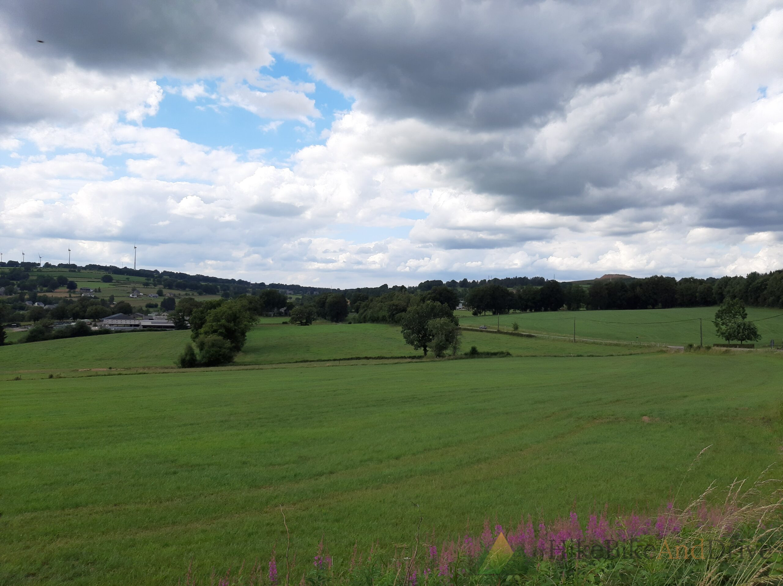
South of Kalterherberg the landscape changes again. This is the edge of the Hohes Venn the High Fens a vast raised bog plateau straddling the German-Belgian border, one of the last true wilderness landscapes in this part of Europe. The old rail line threads along its fringe rather than through its heart, but the openness is still striking after the enclosed forest riding further north: wide skies, moorland, and a wind that has nowhere to hide from.
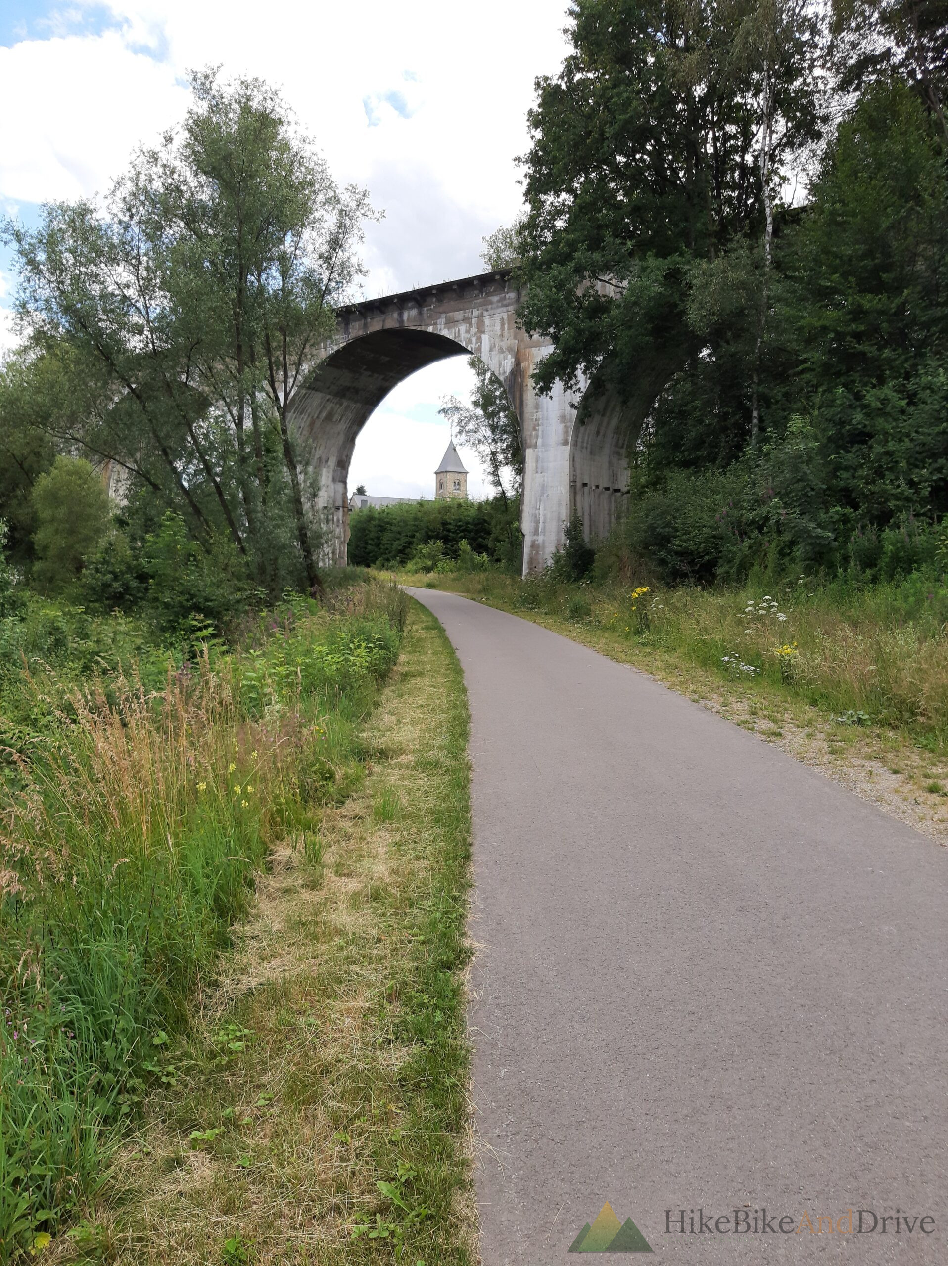
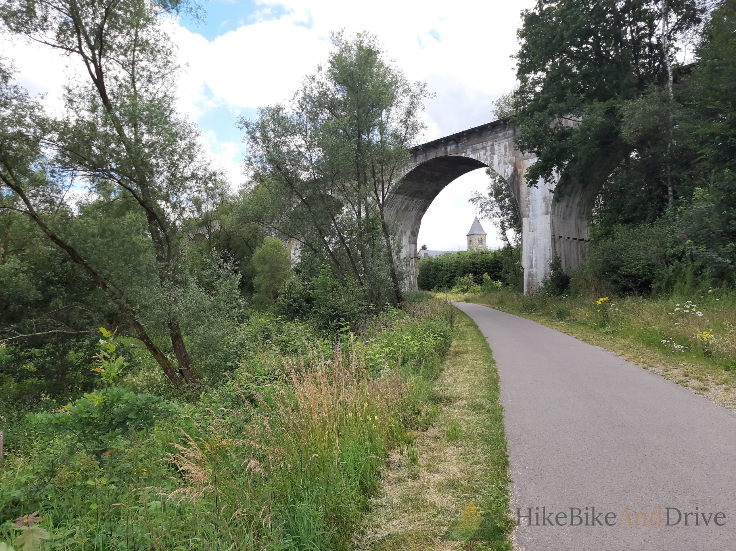
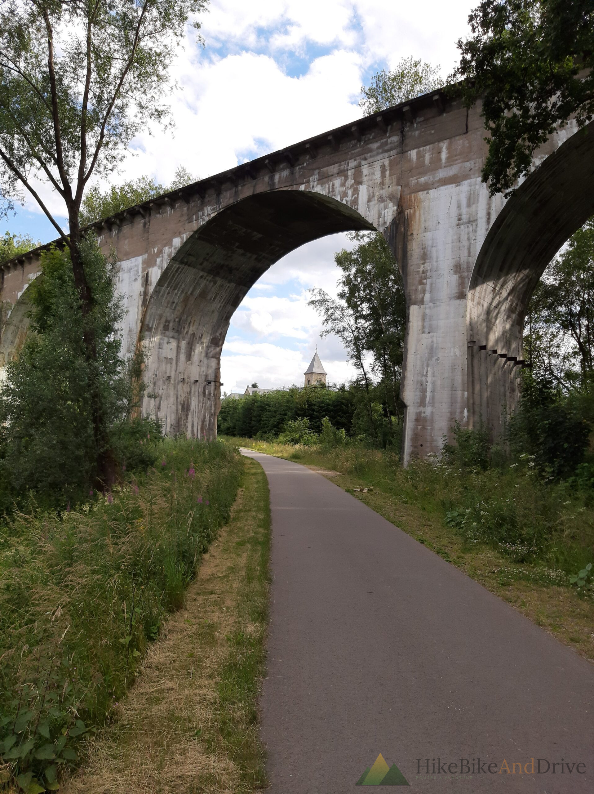
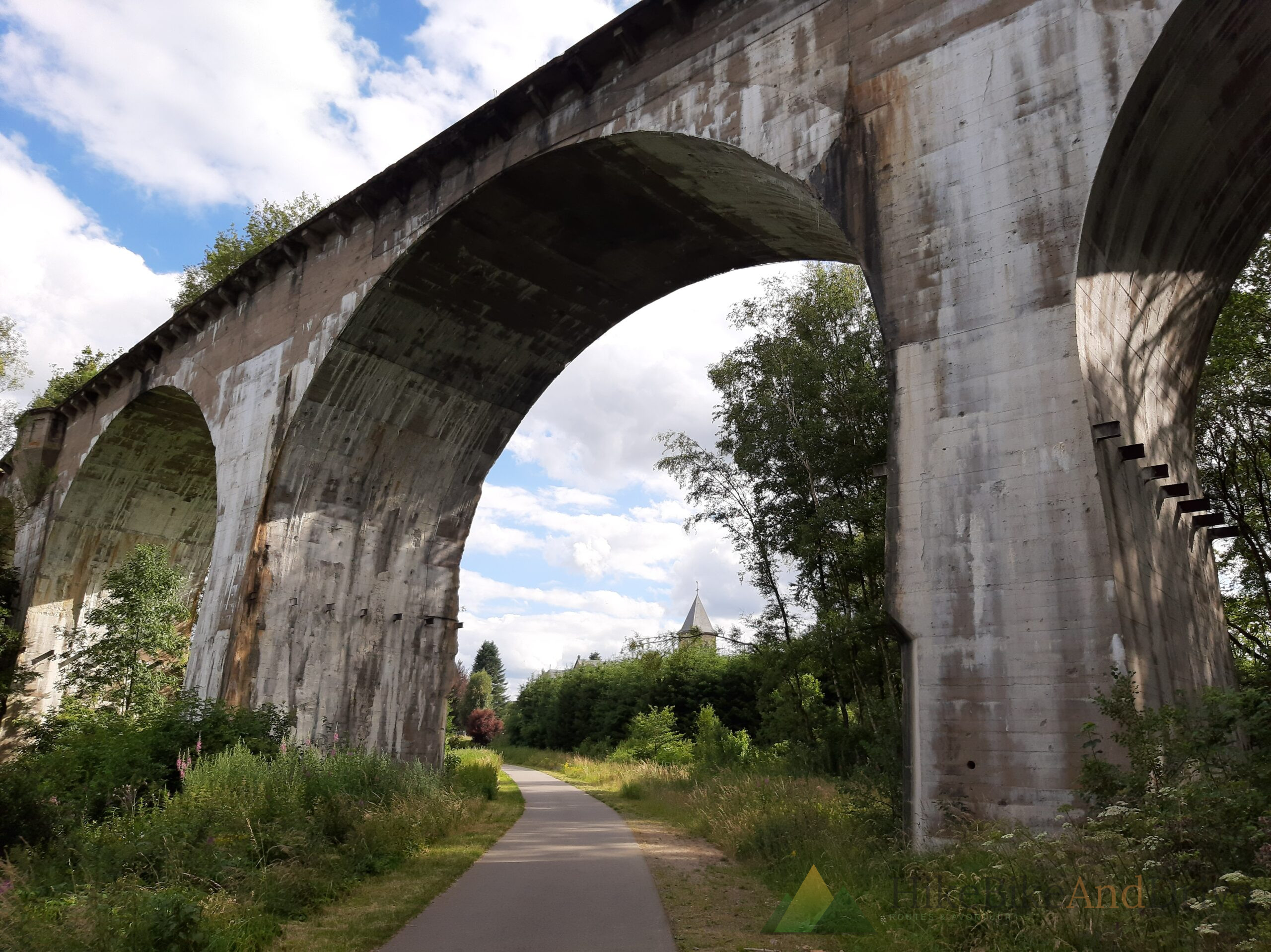
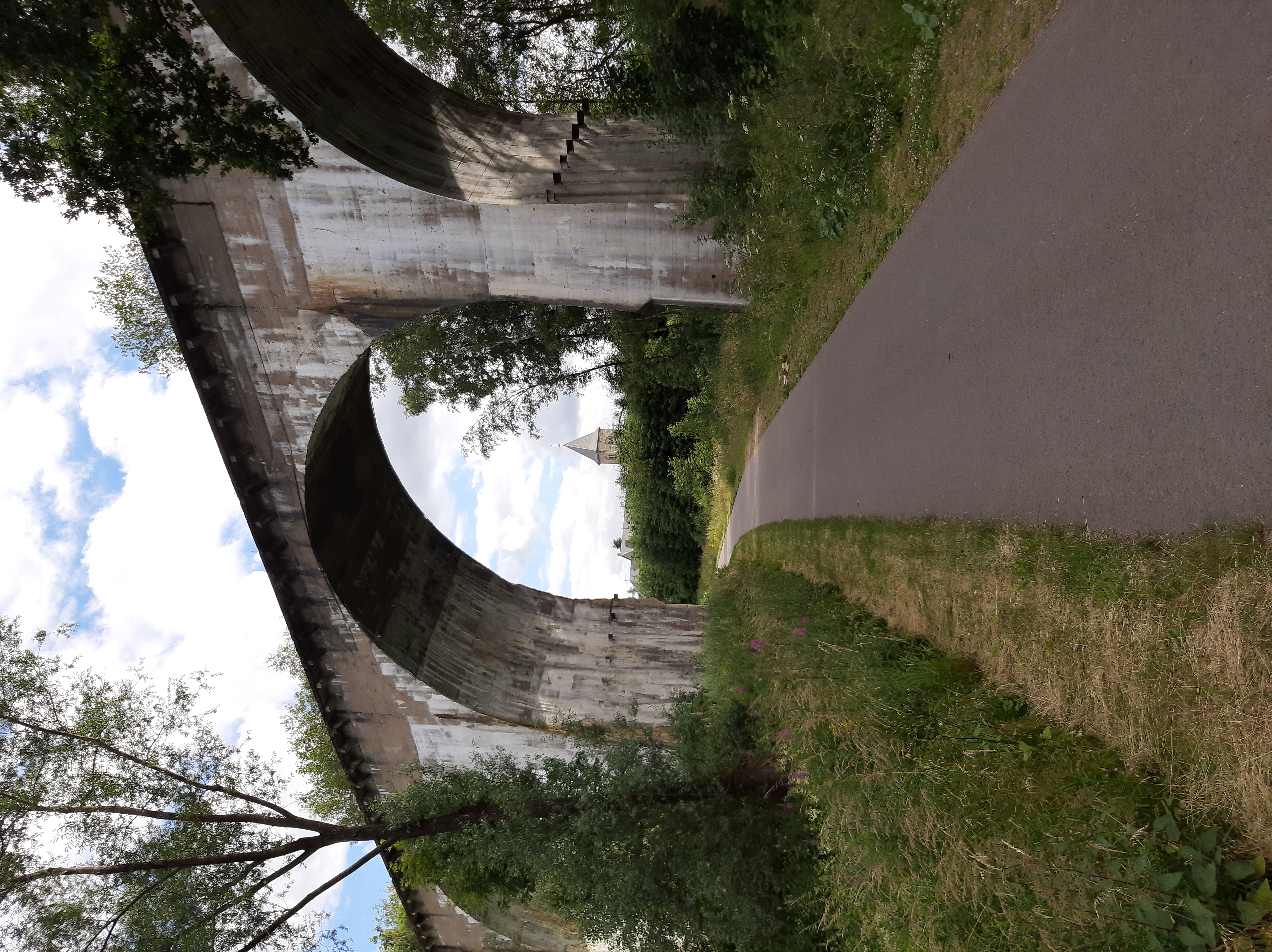
It’s also where the Vennbahn’s engineering announces itself most dramatically. A series of old viaducts carry the trail across valleys that the original line-builders refused to detour around tall, weathered concrete arches, stained by a century of weather, framing the cycle path as it passes beneath them. Riding through their shadow, with the forest closing back in on either side immediately after, is one of those moments that photographs well but feels even better in the legs and lungs.
Around here, too, you start finding the relics of the railway’s working life. An old waiting shelter at Reichenstein — rusted corrugated roof, a name plate still legible, wooden benches worn soft by decades of use — sits just off the trail like a small, unstaffed museum. Nobody has removed it. Nobody has really restored it either. It’s simply still there, doing nothing but being a good spot to stop, eat, and imagine the trains that once idled beside it.
Into Belgium’s German-speaking east
The final stretch rolls south through the villages of Belgium’s small German-speaking community a detail that surprises most first-time visitors, and one worth knowing before you go: road signs, café menus, and casual conversation here are in German, not French or Dutch, even though you’re firmly inside Belgium. Sankt Vith itself, when it finally appears, sits at the meeting point of the Ardennes and the Eifel a modest, unhurried town that was almost entirely leveled during the Battle of the Bulge and rebuilt with quiet determination afterward.
Rolling down into the town center after close to five hours in the saddle, the transition from open plateau to narrow streets and church spires feels earned rather than sudden exactly the way a good long ride should end.
The numbers
- Distance: 95.1 km
- Elevation gain: 967 m
- Moving time: 5:04
- Start: Kerkrade, Netherlands
- Finish: Sankt Vith, Belgium
- Surface: predominantly compact gravel/asphalt former railbed, easily manageable on a gravel or trekking bike
Practical notes
- Gradient: thanks to its railway origins, this is one of the gentlest longdistance routes in the region almost never above 2%, which makes the elevation gain far more approachable than the number suggests.
- Waymarking: the Vennbahn is consistently signed along its full length, with regular information boards detailing distance, points of interest, and connecting loops.
- Border crossings: the route crosses from the Netherlands into Germany, then into Belgium, without any formalities just a change in road signage and, eventually, language.
- Refuel points: Monschau and Kalterherberg both offer solid stopping options roughly at the route’s midpoint; Sankt Vith has a full range of cafés and restaurants to recover in at the finish.
- Best season: the High Fens section is exposed check wind and visibility before heading out in poor weather, and note that this plateau can be considerably cooler than the valleys either side of it.
Part of the Vennbahn corridor, one of Europe’s great rail-trail conversions
a route that turns 19thcentury industrial engineering into one of the most rewarding gentle gradient long rides in the Benelux Eifel border region.
What’s next
Sankt Vith is only the end of day one. From here the route continues south through the Ardennes toward Luxembourg day 2 picks up where this one leaves off. The full 18-day expedition to Lucerne and back, with every stage, elevation profile, and overnight stop, will follow as a complete guide once all the legs are posted.